






 By
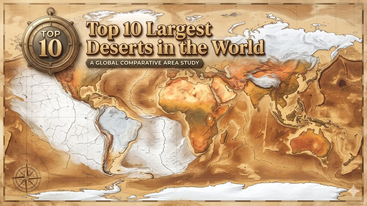
The largest deserts ranked here are by area and include the Antarctic and Arctic polar deserts, which lead any list that uses a low-precipitation definition. Rank is by published area in square kilometres, using a low-precipitation definition of a desert rather than a sand-and-heat definition, so the Antarctic and Arctic polar deserts are included and lead the list [1][2]. Widely cited World Factbook figures give the Antarctic Desert about 14.2 million square kilometres, the Arctic Desert about 13.9 million, and the Sahara about 9.2 million; some educational sources give the Sahara as about 9.4 million, a difference of a few hundred thousand square kilometres that this article labels [1][2][3]. The Sahara remains the largest hot, subtropical desert in either figure. A list that excluded polar deserts would start at the Sahara and would no longer be this ten.
Area figures for large deserts are estimates with moving edges. The Australian line is a special method case: Geoscience Australia, in a page updated on 4 November 2026, gives 1,371,000 square kilometres as the total of the country's ten largest named mainland deserts, not as a single official name for one sand sea [4]. Those ten deserts are not also ranked separately here, to avoid double-counting. Australia's Antarctic Territory desert, officially 5,896,500 square kilometres, is part of the Antarctic total and is not a second polar rank [4].
Key Facts
World Factbook figures are used for the Antarctic, Arctic, Sahara, Arabian, Gobi, Kalahari, Patagonian, and Syrian lines [1]. Geoscience Australia is used for the combined Australian mainland total [4]. The Great Basin figure is commonly given as about 492,000 square kilometres, a less firmly sourced estimate than the Factbook and Geoscience Australia lines, and the Chihuahuan Desert is commonly given as about 450,000 square kilometres just outside this ten [5]. Rank 1 is the outstanding official polar-area total, which is also the only desert in the ten that covers an entire continent.
Atacama, famous for extreme aridity, is much smaller, on the order of 140,000 square kilometres, and is not forced into an area ranking [5]. The table below is the official spine: area first, source and method second, and no unsourced "Sahara is the largest desert on Earth" claim is smuggled in as a precipitation-definition fact.
Largest Deserts at a Glance
| Rank | Desert | Area (km2) | Type | 2026 note |
|---|---|---|---|---|
| 1 | Antarctic Desert | About 14,200,000 | Polar | Largest desert on a low-precipitation definition |
| 2 | Arctic Desert | About 13,900,000 | Polar | A circumpolar dry region, not a single national park |
| 3 | Sahara | About 9,200,000; some sources about 9,400,000 | Subtropical, hot | Largest hot desert |
| 4 | Arabian Desert | About 2,330,000 | Subtropical | Largest hot desert in Asia in this method |
| 5 | Australian mainland deserts (combined) | 1,371,000 | Subtropical arid and semi-arid | Official Geoscience Australia total of ten named deserts, not one official name |
| 6 | Gobi Desert | About 1,295,000 | Cold winter | China and Mongolia; not a sand-sea cliche |
| 7 | Kalahari Desert | About 900,000 | Subtropical | Botswana, Namibia, and South Africa |
| 8 | Patagonian Desert | About 673,000 | Cold winter | Argentina and Chile |
| 9 | Syrian Desert | About 500,000 | Subtropical | Iraq, Jordan, Saudi Arabia, and Syria |
| 10 | Great Basin Desert | Commonly about 492,000 | Cold winter | A commonly cited figure, less firmly sourced than the lines above |
1. Antarctic Desert
The Antarctic Desert is the largest desert on Earth under a low-precipitation definition, commonly given as about 14.2 million square kilometres, a polar ice and tundra landscape rather than a hot sand sea [1][2]. The figure is an estimate for the dry Antarctic region, essentially the continent-scale desert. Official Australian figures separately state that the Australian Antarctic Territory alone contains 5,896,500 square kilometres of desert, about 42 percent of the Antarctic continent; that territory figure is part of this total, not a second rank [4]. This article records the area; it is not a tourism guide to research stations.
It is first as the outstanding official polar-area total, a labelled precipitation-definition fact, and the necessary starting point of any honest area list [1][2]. A later official remeasurement of a few hundred thousand square kilometres will belong in a revision of the cell.
World Factbook and standard polar-desert accounts are the sources [1][2].
2. Arctic Desert
The Arctic Desert is commonly given as about 13.9 million square kilometres, a circumpolar polar ice and tundra dry region across northern North America, Greenland, northern Europe, and northern Russia, and it is the second-largest desert on the same low-precipitation definition [1][2]. It is not a single national park and not a second Antarctica. The edge of what counts as Arctic desert rather than moist tundra is itself an estimate, which is why the figure is given as an about-value. This article records the published area.
It is second as the outstanding official northern polar-area total, a labelled circumpolar fact, and a necessary counterpart to Antarctica [1]. A later official boundary will belong in a revision of the cell.
Related: Top 10 Most Breathtaking Desert Landscapes
World Factbook figures are the source [1].
3. Sahara
The Sahara is the largest hot, subtropical desert, given as about 9.2 million square kilometres in widely cited World Factbook figures, while some educational sources, including National Geographic's desert explainer, give about 9.4 million [1][3]. The difference of a few hundred thousand square kilometres is labelled rather than hidden. On either figure the Sahara is third in a polar-inclusive list and first in a hot-desert-only list. The desert spans much of North Africa and is rock and gravel as well as sand. This article records the area, not a crossing guide.
It is third as the outstanding official hot-desert total, a labelled figure with a published range, and the necessary non-polar centre of this ten [1][3]. A later official estimate will belong in a revision of the cell.
World Factbook and National Geographic figures are the sources [1][3].
4. Arabian Desert
The Arabian Desert is commonly given as about 2.33 million square kilometres, a subtropical desert of the Arabian Peninsula and neighbouring margins, and it is the largest hot desert in Asia in this method [1]. The figure is an estimate with political and ecological edges. It is not a second Sahara, and it is not the same as the Empty Quarter alone, which is a named sand sea inside the larger desert. This article records the published area.
It is fourth as the outstanding official Asian hot-desert total, a labelled 2.33-million figure, and a necessary counterpart to the Sahara [1]. A later official estimate will belong in a revision of the cell.
World Factbook figures are the source [1].
5. Australian mainland deserts (combined)
Geoscience Australia, in a page updated on 4 November 2026, gives 1,371,000 square kilometres as the total of Australia's ten largest named mainland deserts, about 18 percent of the country, sourced from the agency's GEODATA TOPO-250K database [4]. That total is a composite, not a single official name on the Geoscience Australia table: the ten named deserts include the Great Victoria at 348,750 square kilometres, the Great Sandy at 267,250, the Tanami at 184,500, the Simpson at 176,500, the Gibson at 156,000, the Little Sandy at 111,500, and four smaller named deserts [4]. They are not also ranked separately in this ten. A list of single official names would place no individual Australian desert above the Gobi.
Related: Top 10 Largest River Deltas in the World
It is fifth as the outstanding official combined Australian mainland total, a labelled composite, and a necessary method warning rather than a fake single sand sea [4]. A later official Geoscience Australia revision will belong in a revision of the cell.
Official Geoscience Australia figures are the source [4].
6. Gobi Desert
The Gobi Desert is commonly given as about 1,295,000 square kilometres in World Factbook figures, a cold-winter desert in China and Mongolia, and it is rock and steppe as well as sand [1][3]. Some agency descriptions round the same desert to about 1.3 million square kilometres [6]. The Gobi is smaller than the combined official Australian mainland total and larger than the Kalahari. This article records the published area, not a caravan route.
It is sixth as the outstanding official East Asian cold-winter total, a labelled Factbook figure, and a necessary counterpart to the hot subtropical lines [1]. A later official estimate of a few tens of thousands of square kilometres will not change the order of magnitude.
World Factbook figures are the source [1].
7. Kalahari Desert
The Kalahari Desert is commonly given as about 900,000 square kilometres, a subtropical desert of Botswana, Namibia, and South Africa, and it is a sand and savanna dryland rather than a lifeless dune field [1]. The figure is an estimate. The Kalahari is smaller than the Gobi and larger than the Patagonian Desert in this method. This article records the published area.
It is seventh as the outstanding official southern African subtropical total, a labelled 900,000-square-kilometre figure, and a necessary counterpart to the Sahara [1]. A later official estimate will belong in a revision of the cell.
Related: Top 25 Interesting Facts About the Solar System
World Factbook figures are the source [1].
8. Patagonian Desert
The Patagonian Desert is commonly given as about 673,000 square kilometres, a cold-winter dryland of Argentina and Chile, and it is the outstanding official South American area total in this ten [1]. The figure is an estimate with Andean and coastal edges. It is not a second Atacama, which is a much smaller coastal desert famous for aridity rather than for area. This article records the published area.
It is eighth as the outstanding official Patagonian cold-winter total, a labelled 673,000-square-kilometre figure, and a necessary southern counterpart to the Gobi [1]. A later official estimate will belong in a revision of the cell.
World Factbook figures are the source [1].
9. Syrian Desert
The Syrian Desert is commonly given as about 500,000 square kilometres, a subtropical desert of Syria, Iraq, Jordan, and Saudi Arabia, and it is a separate published region from the larger Arabian Desert rather than a silent double count of the same sand [1]. The edges between the two named deserts are themselves an estimate. This article records the published area as a distinct Factbook line. It is not a political map.
It is ninth as the outstanding official Levant-and-north-Arabian subtropical total in this method, a labelled 500,000-square-kilometre figure, and a necessary counterpart to the 2.33-million Arabian line [1]. A later official estimate will belong in a revision of the cell.
World Factbook figures are the source [1].
10. Great Basin Desert
The Great Basin Desert is commonly given as about 492,000 square kilometres, a cold-winter desert of the internal basin in the western United States, and it is the last line in this ten [5]. That figure is less firmly sourced than the World Factbook and Geoscience Australia totals above, and it should be read as a commonly cited estimate rather than as a new official survey. The Chihuahuan Desert is commonly given as about 450,000 square kilometres, just outside this ten, and is not forced in ahead of a similarly approximate Great Basin figure [5]. This article records the common estimate and the source-quality warning.
Related: Top 10 Mythical Creatures in World Mythology - That Inspired Myths Across Civilizations (unchanged)
It is tenth as the outstanding commonly cited North American cold-winter total in this method, a labelled estimate, and a necessary counterpart to the better-sourced lines above [5]. A later official agency figure would belong in a revision of the cell and might change the tenth place.
Standard compiled desert-area lists are the source, with the quality warning [5].
Conclusion
A 2026 largest-deserts list has to include the Antarctic and Arctic polar deserts at about 14.2 and 13.9 million square kilometres, keep the Sahara as the largest hot desert at about 9.2 million with a labelled 9.4-million variant, and treat Australia's 1,371,000 square kilometres as an official Geoscience Australia total of ten named mainland deserts, not as a single official name [1][3][4]. The Arabian, Gobi, Kalahari, Patagonian, and Syrian lines follow the widely cited Factbook estimates; the Great Basin closes the ten as a commonly cited, less firmly sourced figure [1][5]. The useful habit is a labelled area, a labelled composite, and a refusal to start the list at the Sahara without saying that polar deserts have been excluded.
A later official remeasurement will belong in a revision of a table cell; it will not change the method. Those labelled areas are the spine of the list, and they will still be the spine after a later atlas or agency table has been updated in a later year.
- ^ [1] Widely cited World Factbook desert-area figures for the Antarctic, Arctic, Sahara, Arabian, Gobi, Kalahari, Patagonian, and Syrian deserts. The World Factbook
- ^ [2] Standard scientific and educational accounts treating Antarctica as the largest desert under a low-precipitation definition, at about 14.2 million square kilometres. Live Science
- ^ [3] National Geographic educational account of deserts, including a Sahara figure of about 9.4 million square kilometres and the Gobi as a cold desert. National Geographic Education
- ^ [4] Official Geoscience Australia figures, page updated 4 November 2026: ten largest mainland deserts totalling 1,371,000 square kilometres, and 5,896,500 square kilometres of desert in the Australian Antarctic Territory. Geoscience Australia
- ^ [5] Compiled desert-area figures used for the commonly cited Great Basin estimate of about 492,000 square kilometres and the Chihuahuan estimate of about 450,000 square kilometres, labelled as less firmly sourced than [1] and [4].
- ^ [6] European Space Agency description rounding the Gobi to about 1,300,000 square kilometres. ESA





















Discussion
Log in with