






 By
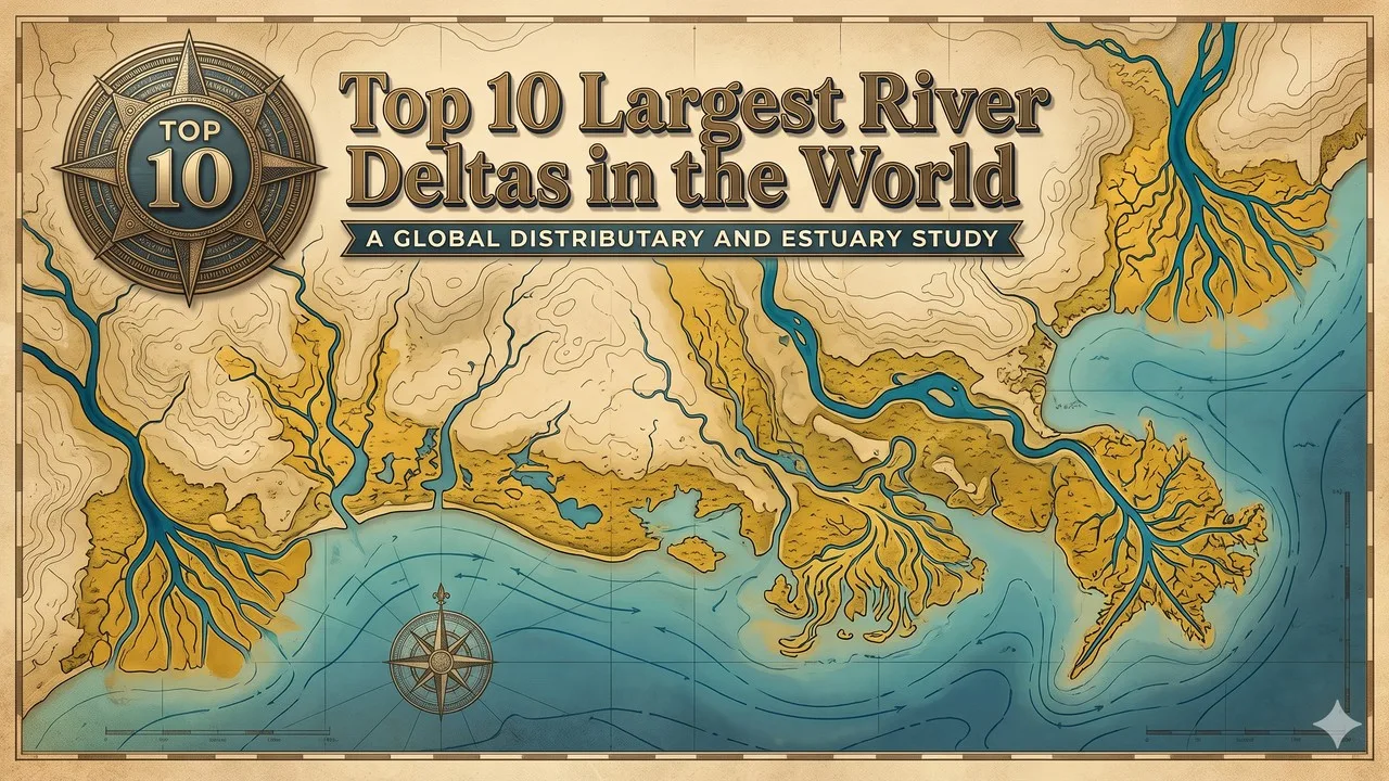
Delta areas ranked here use the 2004 World Delta Database mapped plains, and later or official regional figures are labelled when they measure something else. Rank follows the mapped delta-plain areas in the World Delta Database compiled at Louisiana State University from the 2004 satellite study by James Coleman and Oscar Huh, a like-for-like scientific measure of the low land a river has built from its own sediment, not a government planning region and not a river's drainage basin [1][2]. In that table the Ganges-Brahmaputra Delta, also fed by the Meghna, is first at 105,641 square kilometres, the Mekong Delta is second at 93,781, and the Yangtze Delta is third at 66,669 [1][2]. The Lena Delta, at 43,563 square kilometres, is the outstanding Arctic case in the ten, and the Yellow River, Indus, Mississippi, Volga, Orinoco, and Irrawaddy deltas complete the same mapped-plain list [1]. Abandoned lobes are counted in those figures as well as active lobes, which is why a delta can be large on this measure even where the present mouth is comparatively small [1][2].
The Amazon has no area in those LSU tables, because where its mouth begins is itself disputed, and later published figures for an Amazon delta or mixed delta-estuary vary widely by boundary; this article therefore labels the Amazon rather than silently inserting it or silently dropping it [1]. The official Nigerian planning region for the Niger Delta covers more than 70,000 square kilometres, but the geological delta plain in the same database is 19,135 square kilometres, which places the Niger just outside this ten, in eleventh, and the two figures are not the same measure [1]. The Okavango in Botswana is an inland delta that never reaches the sea, with a seasonal flood of about 6,000 to 15,000 square kilometres, a different kind of landform and not a silent eleventh coastal plain [1]. Later official or encyclopedia figures that measure an administrative region, a smaller active lobe, or a different shoreline year are labelled when they differ, not used to reorder the 2004 mapped-plain table.
Key Facts
The ten below are the World Delta Database mapped-plain leaders: the Ganges-Brahmaputra 105,641 square kilometres, the Mekong 93,781, the Yangtze 66,669, the Lena 43,563, the Yellow River 36,272, the Indus 29,524, the Mississippi 28,568, the Volga 27,224, the Orinoco 20,642, and the Irrawaddy 20,571 [1][2]. Rank 1 is the outstanding official mapped-plain area in that 2004 compilation, which is also the only coastal delta in the ten above 100,000 square kilometres on that measure.
A later official remapping of a single delta, or a later government region total, will belong in a revision of a cell or in a labelled note, not as an unlabelled change to the method. The table is the official spine: one 2004 mapped-plain source, later regional figures labelled, and no unofficial Amazon or Niger substitution is smuggled in as the LSU fact.
Largest River Deltas at a Glance
| Rank | Delta | Area (km2) | Location | 2026 note |
|---|---|---|---|---|
| 1 | Ganges-Brahmaputra Delta | 105,641 | Bangladesh and India | 2004 mapped delta plain; later regional figures are a different measure |
| 2 | Mekong Delta | 93,781 | Vietnam | The Vietnamese administrative region, often given as about 40,500 km2, is a different measure |
| 3 | Yangtze Delta | 66,669 | China | Mapped delta plain, not a metropolitan-region population figure |
| 4 | Lena Delta | 43,563 | Russia | Outstanding Arctic mapped plain; some later pages give about 30,000 km2 |
| 5 | Yellow River Delta | 36,272 | China | Mapped delta plain into the Bohai Sea |
| 6 | Indus Delta | 29,524 | Pakistan and India | Mapped plain; later shoreline-loss figures are labelled separately |
| 7 | Mississippi Delta | 28,568 | United States | Includes older abandoned lobes; a smaller active-lobe figure is a different measure |
| 8 | Volga Delta | 27,224 | Russia | Largest mapped European delta, into the Caspian Sea |
| 9 | Orinoco Delta | 20,642 | Venezuela | Mapped delta plain |
| 10 | Irrawaddy Delta | 20,571 | Myanmar | Mapped delta plain; the Niger, at 19,135, sits just outside |
1. Ganges-Brahmaputra Delta
The Ganges-Brahmaputra Delta, also fed by the Meghna and built into the Bay of Bengal in Bangladesh and India, has a mapped delta-plain area of 105,641 square kilometres in the 2004 World Delta Database, the largest coastal delta on that like-for-like measure [1][2]. The figure is the mapped sediment plain, not the whole drainage basin, and not a later administrative-region total. This article records the official 105,641 square kilometres. The Sundarbans mangrove forest along the seaward edge is a named part of the same plain, not a second delta.
It is first as the outstanding official mapped-plain area, a labelled 105,641-square-kilometre fact, and the documentary centre of this ten [1][2]. A later official remapping will belong in a revision of the cell.
The World Delta Database of Coleman and Huh, 2004, is the source [1][2].
2. Mekong Delta
The Mekong Delta has a mapped delta-plain area of 93,781 square kilometres in the same 2004 database, second on that measure [1][2]. The Vietnamese administrative region is often given as about 40,500 square kilometres, a different official measure that this article labels rather than uses as a silent replacement [1]. This article records the 93,781-square-kilometre mapped-plain figure. It is a coastal sediment plain in southern Vietnam, not a length of the Mekong River.
Related: Top 10 Largest Deserts in the World
It is second as the outstanding official 93,781-square-kilometre mapped plain, a labelled fact, and a necessary counterpart to the Ganges-Brahmaputra [1][2]. A later official remapping will belong in a revision of the cell.
The World Delta Database of Coleman and Huh, 2004, is the source [1][2].
3. Yangtze Delta
The Yangtze, or Chang Jiang, Delta has a mapped delta-plain area of 66,669 square kilometres in the 2004 database, third on that measure [1][2]. The figure is the mapped sediment plain, not the population of the wider Yangtze Delta metropolitan region, and not a later economic-zone total. This article records the 66,669-square-kilometre mapped-plain figure. It stands clearly below the Mekong and clearly above the Lena.
It is third as the outstanding official 66,669-square-kilometre mapped plain, a labelled fact, and a necessary counterpart to the Mekong and the Lena [1][2]. A later official remapping will belong in a revision of the cell.
The World Delta Database of Coleman and Huh, 2004, is the source [1][2].
4. Lena Delta
The Lena Delta has a mapped delta-plain area of 43,563 square kilometres in the 2004 database, the outstanding Arctic case in this ten, while some later pages give a smaller figure of about 30,000 square kilometres, a different measure that this article labels [1]. The figure is the mapped sediment plain on the Laptev Sea, not the Lena drainage basin of more than two million square kilometres. This article records the 43,563-square-kilometre mapped-plain figure. The Lena Delta Nature Reserve protects a named part of the same plain, not a second delta area.
It is fourth as the outstanding official 43,563-square-kilometre Arctic mapped plain, a labelled fact, and a necessary counterpart to the Yangtze and the Yellow River [1]. A later official remapping will belong in a revision of the cell.
Related: Top 25 Interesting Facts About the Solar System
The World Delta Database of Coleman and Huh, 2004, is the source [1][2].
5. Yellow River Delta
The Yellow River, or Huang He, Delta has a mapped delta-plain area of 36,272 square kilometres in the 2004 database, built into the Bohai Sea [1][2]. The figure is the mapped sediment plain, not a later annual growth or shrinkage rate, and not a nature-reserve area presented as the whole delta. This article records the 36,272-square-kilometre mapped-plain figure. Later changes in sediment supply can alter the shoreline without silently rewriting the 2004 cell.
It is fifth as the outstanding official 36,272-square-kilometre mapped plain, a labelled fact, and a necessary counterpart to the Lena and the Indus [1][2]. A later official remapping will belong in a revision of the cell.
The World Delta Database of Coleman and Huh, 2004, is the source [1][2].
6. Indus Delta
The Indus Delta has a mapped delta-plain area of 29,524 square kilometres in the 2004 database, and later studies that describe a much smaller remaining active shoreline are measuring a later change, not a silent replacement for the mapped plain [1]. The figure is the 2004 sediment-plain total, including abandoned ground, not a single 2018 erosion estimate. This article records the 29,524-square-kilometre mapped-plain figure. Other published totals around 30,000 or 41,440 square kilometres are labelled variations, not a second official rank.
It is sixth as the outstanding official 29,524-square-kilometre mapped plain, a labelled fact, and a necessary counterpart to the Mississippi [1]. A later official remapping will belong in a revision of the cell.
The World Delta Database of Coleman and Huh, 2004, is the source [1][2].
7. Mississippi Delta
The Mississippi Delta has a mapped delta-plain area of 28,568 square kilometres in the 2004 database, a figure that includes older abandoned lobes, while a commonly cited active area of about 12,000 square kilometres in southeast Louisiana is a different, smaller measure [1]. This article records the 28,568-square-kilometre mapped-plain figure and labels the smaller active-lobe total. The work is a coastal sediment plain into the Gulf of Mexico, not the Mississippi drainage basin.
Related: Top 10 Mythical Creatures in World Mythology - That Inspired Myths Across Civilizations (unchanged)
It is seventh as the outstanding official 28,568-square-kilometre mapped plain, a labelled fact, and a necessary counterpart to the Indus and the Volga [1]. A later official remapping will belong in a revision of the cell.
The World Delta Database of Coleman and Huh, 2004, is the source [1][2].
8. Volga Delta
The Volga Delta has a mapped delta-plain area of 27,224 square kilometres in the 2004 database, the largest mapped European delta, built into the Caspian Sea [1][2]. The figure is the 2004 mapped plain, not a nineteenth-century total of about 3,222 square kilometres, and not the area of the Astrakhan Nature Reserve presented as the whole delta. This article records the 27,224-square-kilometre mapped-plain figure.
It is eighth as the outstanding official 27,224-square-kilometre mapped plain, a labelled fact, and a necessary counterpart to the Mississippi and the Orinoco [1][2]. A later official remapping will belong in a revision of the cell.
The World Delta Database of Coleman and Huh, 2004, is the source [1][2].
9. Orinoco Delta
The Orinoco Delta has a mapped delta-plain area of 20,642 square kilometres in the 2004 database, in Venezuela [1][2]. The figure is the mapped sediment plain, not the area of Delta Amacuro state presented as a political unit, and not a length of the Orinoco River. This article records the 20,642-square-kilometre mapped-plain figure. It stands just above the Irrawaddy.
It is ninth as the outstanding official 20,642-square-kilometre mapped plain, a labelled fact, and a necessary counterpart to the Irrawaddy [1][2]. A later official remapping will belong in a revision of the cell.
Related: Top 25 Interesting Facts About the Universe
The World Delta Database of Coleman and Huh, 2004, is the source [1][2].
10. Irrawaddy Delta
The Irrawaddy Delta has a mapped delta-plain area of 20,571 square kilometres in the 2004 database, and the Niger Delta, at 19,135 square kilometres on the same measure, sits just outside the ten [1][2]. The official Nigerian planning region of more than 70,000 square kilometres is a different measure and is not used to lift the Niger into this ten [1]. This article records the 20,571-square-kilometre Irrawaddy mapped-plain figure. The Amazon and the inland Okavango remain labelled outside the table for the reasons already stated.
It is tenth as the outstanding official 20,571-square-kilometre mapped plain, a labelled fact, and a necessary counterpart to the Orinoco and to the Niger just outside [1][2]. A later official remapping will belong in a revision of the cell.
The World Delta Database of Coleman and Huh, 2004, is the source [1][2].
Conclusion
A 2026 largest-deltas list has to keep the 2004 World Delta Database mapped-plain spine: the Ganges-Brahmaputra at 105,641 square kilometres, the Mekong at 93,781, and the Yangtze at 66,669, and it has to refuse to treat a later administrative region, a smaller active lobe, or an Amazon mouth of disputed outline as a silent reordering of that table [1][2]. The Lena, Yellow River, Indus, Mississippi, Volga, Orinoco, and Irrawaddy deltas complete the same ten, with the Niger just outside at 19,135 square kilometres and the Okavango labelled as an inland seasonal flood [1]. The useful habit is one mapped-plain source, one measurement year, and a refusal to mix a political region into a sediment-plain rank.
A later official remapping will belong in a revision of a cell; it will not change the method. Those labelled 2004 areas are the spine of the list, and they will still be the spine after a later shoreline study has restated a single delta in a later year.
- ^ [1] World Delta Database, Louisiana State University, compiled from James Coleman and Oscar Huh, 2004, mapped delta-plain areas: Ganges-Brahmaputra 105,641 square kilometres, Mekong 93,781, Yangtze 66,669, Lena 43,563, Yellow River 36,272, Indus 29,524, Mississippi 28,568, Volga 27,224, Orinoco 20,642, Irrawaddy 20,571, and Niger 19,135. THE WORLD DELTA DATABASE
- ^ [2] Standard presentation of the same 2004 mapped-plain table, including the labelled notes that the Amazon has no area in the LSU tables, that the official Nigerian Niger region and the Vietnamese Mekong region are different measures, and that the Okavango is an inland delta. Geography Worlds






















Discussion
Log in with