






 By
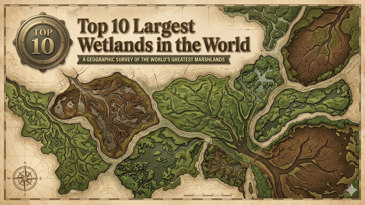
The wetlands ranked here follow Fraser and Keddy scientific area estimates, and Ramsar site totals are labelled separately when they measure something else. Rank follows the published scientific area estimates compiled by Fraser and Keddy and presented in Keddy and colleagues in 2009, rounded to the nearest 1,000 square kilometres, a like-for-like list of the world's largest wetland complexes rather than a ranking of individual Ramsar sites [1][2]. In that table the West Siberian Lowland is first at 2,745,000 square kilometres, the wetland area of the Amazon River Basin is second at 1,738,000, and the Hudson Bay Lowland is third at 374,000 [1]. The Amazon figure is the published wetland area inside the basin, not the whole drainage basin of several million square kilometres, a distinction this article keeps in the open [1]. The Congo River Basin, at 189,000 square kilometres, the Mackenzie River Basin, at 166,000, and the Pantanal, at 160,000, complete the next three, and the Mississippi River Basin, Lake Chad Basin, River Nile Basin, and Prairie Potholes close the ten [1].
Ramsar site totals measure designated sites, not automatically the same wetland complex, and they are labelled here when they differ [2][3]. The Pantanal is recorded by Guinness World Records as the largest tropical wetland, and some official and Ramsar accounts give a broader figure of about 170,000 or 179,000 square kilometres; this article ranks the Fraser and Keddy figure of 160,000 and labels those later or broader totals [3][4]. The Magellanic Moorland, at 44,000 square kilometres in the same scientific table, sits just outside the ten and is not added as a silent eleventh rank [1]. A later official remote-sensing inventory of a single complex will belong in a revision of a cell, not as an unlabelled change to the method.
Key Facts
The ten below are the Fraser and Keddy scientific leaders, with areas rounded to the nearest 1,000 square kilometres: the West Siberian Lowland 2,745,000, the Amazon River Basin wetlands 1,738,000, the Hudson Bay Lowland 374,000, the Congo River Basin 189,000, the Mackenzie River Basin 166,000, the Pantanal 160,000, the Mississippi River Basin 108,000, the Lake Chad Basin 106,000, the River Nile Basin 92,000, and the Prairie Potholes 63,000 [1]. Rank 1 is the outstanding published scientific area, which is also the only complex in the ten above 2,000,000 square kilometres in that compilation.
The authors themselves note that published area estimates include different assumptions, techniques, and accuracy, especially in seasonally flooded channel networks and in complexes of isolated basins such as the Prairie Potholes, and this article keeps that uncertainty labelled [1][2]. The table is the official spine: one scientific compilation, Ramsar and Guinness figures labelled, and no unofficial site-total substitution is smuggled in as the Fraser and Keddy fact.
Largest Wetlands at a Glance
| Rank | Wetland | Area (km2) | Type in the source | 2026 note |
|---|---|---|---|---|
| 1 | West Siberian Lowland | 2,745,000 | Bogs, mires, fens | Largest published scientific wetland complex in the 2009 table |
| 2 | Amazon River Basin | 1,738,000 | Savanna and forested floodplain | Wetland area inside the basin, not the whole drainage basin |
| 3 | Hudson Bay Lowland | 374,000 | Bogs, fens, swamps, marshes | Largest North American complex in the same table |
| 4 | Congo River Basin | 189,000 | Swamps, riverine forest, wet prairie | Published scientific estimate; among the least documented large wetlands |
| 5 | Mackenzie River Basin | 166,000 | Bogs, fens, swamps, marshes | Published scientific estimate |
| 6 | Pantanal | 160,000 | Savannas, grasslands, riverine forest | Guinness largest tropical wetland; some later official figures are about 170,000 or 179,000 |
| 7 | Mississippi River Basin | 108,000 | Bottomland hardwood forest, swamps, marshes | Includes heavily altered floodplain, labelled in the source |
| 8 | Lake Chad Basin | 106,000 | Grass and shrub savanna, shrub steppe, marshes | Published scientific estimate; later lake-surface area is a different measure |
| 9 | River Nile Basin | 92,000 | Swamps, marshes | Includes the Sudd as part of the basin wetland complex |
| 10 | Prairie Potholes | 63,000 | Marshes, meadows | A complex of isolated basins; the Magellanic Moorland, at 44,000, sits just outside |
1. West Siberian Lowland
The West Siberian Lowland has a published scientific area of 2,745,000 square kilometres in the Fraser and Keddy compilation, the largest wetland complex in that table, dominated by bogs, mires, and fens [1]. The figure is a wetland-complex area, not the whole political area of western Siberia, and not a single Ramsar site total. This article records the official 2,745,000 square kilometres. It is also the outstanding large peatland in the same scientific account.
It is first as the outstanding published scientific area, a labelled 2,745,000-square-kilometre fact, and the documentary centre of this ten [1]. A later official remapping will belong in a revision of the cell.
Fraser and Keddy, as presented by Keddy and colleagues in 2009, is the source [1][2].
2. Amazon River Basin
The wetlands of the Amazon River Basin have a published scientific area of 1,738,000 square kilometres in the same compilation, described as savanna and forested floodplain, and that figure is the wetland area inside the basin, not the whole Amazon drainage [1]. This article records the 1,738,000-square-kilometre wetland figure and keeps the drainage-basin distinction labelled. It is the outstanding large floodplain in the same scientific account, and it is not a silent combination with the Pantanal.
Related: Top 25 Interesting Facts About the Solar System
It is second as the outstanding official 1,738,000-square-kilometre basin wetland area, a labelled fact, and a necessary counterpart to the West Siberian Lowland [1]. A later official remapping will belong in a revision of the cell.
Fraser and Keddy, as presented in 2009, is the source [1][2].
3. Hudson Bay Lowland
The Hudson Bay Lowland has a published scientific area of 374,000 square kilometres in the same compilation, a complex of bogs, fens, swamps, and marshes, and the largest North American wetland in that table [1]. The figure is a wetland-complex area, not the surface area of Hudson Bay, and not a single national-park total. This article records the official 374,000 square kilometres. It stands far below the Amazon wetlands and clearly above the Congo basin wetlands.
It is third as the outstanding official 374,000-square-kilometre North American complex, a labelled fact, and a necessary counterpart to the Amazon and the Congo [1]. A later official remapping will belong in a revision of the cell.
Fraser and Keddy, as presented in 2009, is the source [1][2].
4. Congo River Basin
The wetlands of the Congo River Basin have a published scientific area of 189,000 square kilometres in the same compilation, described as swamps, riverine forest, and wet prairie, and the 2009 paper flags this complex as among the least documented of the large wetlands [1][2]. The figure is a wetland area inside the basin, not the whole Congo drainage, and not a later unofficial remote-sensing total used as a silent replacement. This article records the official 189,000 square kilometres.
It is fourth as the outstanding official 189,000-square-kilometre basin wetland area, a labelled fact, and a necessary counterpart to the Mackenzie River Basin [1]. A later official remapping will belong in a revision of the cell.
Related: Top 10 Mythical Creatures in World Mythology - That Inspired Myths Across Civilizations (unchanged)
Fraser and Keddy, as presented in 2009, is the source [1][2].
5. Mackenzie River Basin
The wetlands of the Mackenzie River Basin have a published scientific area of 166,000 square kilometres in the same compilation, a complex of bogs, fens, swamps, and marshes [1]. The figure is a wetland area inside the basin, not the whole Mackenzie drainage, and not a single territorial-park total. This article records the official 166,000 square kilometres. It stands just above the Pantanal in the same table.
It is fifth as the outstanding official 166,000-square-kilometre basin wetland area, a labelled fact, and a necessary counterpart to the Pantanal [1]. A later official remapping will belong in a revision of the cell.
Fraser and Keddy, as presented in 2009, is the source [1][2].
6. Pantanal
The Pantanal has a published scientific area of 160,000 square kilometres in the Fraser and Keddy compilation, described as savannas, grasslands, and riverine forest, and Guinness World Records records it as the largest tropical wetland [1][4]. Some official and Ramsar accounts give a broader figure of about 170,000 or 179,000 square kilometres; this article ranks the 160,000-square-kilometre scientific figure and labels those later or broader totals [3][4]. It is not silently treated as larger than the Mackenzie complex on a later official number.
It is sixth as the outstanding official 160,000-square-kilometre scientific area, a labelled fact, and a necessary counterpart to the Mackenzie River Basin [1][3][4]. A later official remapping will belong in a revision of the cell.
Fraser and Keddy, with the labelled Guinness and Ramsar figures, are the sources [1][3][4].
Related: Top 25 Interesting Facts About the Universe
7. Mississippi River Basin
The wetlands of the Mississippi River Basin have a published scientific area of 108,000 square kilometres in the same compilation, described as bottomland hardwood forest, swamps, and marshes, and the source itself notes that large parts of this floodplain have been altered by levees and agriculture [1][2]. The figure is a basin wetland area, including that altered ground as the compilers treated it, not a later remaining-natural-only total used as a silent replacement. This article records the official 108,000 square kilometres.
It is seventh as the outstanding official 108,000-square-kilometre basin wetland area, a labelled fact, and a necessary counterpart to the Lake Chad Basin [1]. A later official remapping will belong in a revision of the cell.
Fraser and Keddy, as presented in 2009, is the source [1][2].
8. Lake Chad Basin
The wetlands of the Lake Chad Basin have a published scientific area of 106,000 square kilometres in the same compilation, described as grass and shrub savanna, shrub steppe, and marshes [1]. The later surface area of Lake Chad itself is a different, much smaller, and strongly fluctuating measure, and it is not used here as a silent replacement for the basin wetland figure. This article records the official 106,000 square kilometres.
It is eighth as the outstanding official 106,000-square-kilometre basin wetland area, a labelled fact, and a necessary counterpart to the Mississippi and Nile complexes [1]. A later official remapping will belong in a revision of the cell.
Fraser and Keddy, as presented in 2009, is the source [1][2].
9. River Nile Basin
The wetlands of the River Nile Basin have a published scientific area of 92,000 square kilometres in the same compilation, described as swamps and marshes, a basin figure that includes the Sudd rather than treating the Sudd as a second, silent Nile total [1]. The figure is a basin wetland area, not a single Ramsar site for the Sudd, and not the whole Nile drainage. This article records the official 92,000 square kilometres.
Related: Top 25 Weird Facts About Left-Handed People
It is ninth as the outstanding official 92,000-square-kilometre basin wetland area, a labelled fact, and a necessary counterpart to the Prairie Potholes [1]. A later official remapping will belong in a revision of the cell.
Fraser and Keddy, as presented in 2009, is the source [1][2].
10. Prairie Potholes
The Prairie Potholes have a published scientific area of 63,000 square kilometres in the same compilation, a complex of marshes and meadows in isolated basins, and the compilers themselves flag isolated-basin complexes as a source of area uncertainty [1][2]. The Magellanic Moorland, at 44,000 square kilometres in the same table, sits just outside the ten [1]. This article records the official 63,000 square kilometres. The Everglades and the Okavango are important named wetlands, and they are smaller than this tenth place on the same style of complex-area comparison.
It is tenth as the outstanding official 63,000-square-kilometre basin-and-pothole complex, a labelled fact, and a necessary counterpart to the Nile basin wetlands [1]. A later official remapping will belong in a revision of the cell.
Fraser and Keddy, as presented in 2009, is the source [1][2].
Conclusion
A 2026 largest-wetlands list has to keep the Fraser and Keddy scientific spine: the West Siberian Lowland at 2,745,000 square kilometres, the Amazon basin wetlands at 1,738,000, and the Hudson Bay Lowland at 374,000, and it has to refuse to treat a later Ramsar site total, a fluctuating lake surface, or a whole drainage basin as a silent reordering of that table [1][2]. The Congo, Mackenzie, Pantanal, Mississippi, Lake Chad, Nile, and Prairie Potholes complexes complete the same ten, with the Pantanal's Guinness tropical-wetland title and some later official figures of about 170,000 or 179,000 square kilometres labelled rather than used to jump a rank [1][3][4]. The useful habit is one scientific compilation, one labelled uncertainty note, and a refusal to mix a designated-site total into a complex-area rank.
A later official remapping will belong in a revision of a cell; it will not change the method. Those labelled scientific areas are the spine of the list, and they will still be the spine after a later inventory has restated a single complex in a later year.
- ^ [1] Paul A. Keddy and colleagues, "Wet and Wonderful: The World's Largest Wetlands Are Conservation Priorities," BioScience 59, no. 1 (2009), Table 2, from Fraser and Keddy (2005), areas rounded to the nearest 1,000 square kilometres: West Siberian Lowland 2,745,000, Amazon River Basin 1,738,000, Hudson Bay Lowland 374,000, Congo River Basin 189,000, Mackenzie River Basin 166,000, Pantanal 160,000, Mississippi River Basin 108,000, Lake Chad Basin 106,000, River Nile Basin 92,000, Prairie Potholes 63,000, and Magellanic Moorland 44,000. BioScience
- ^ [2] The same 2009 paper's method note that published area estimates include different assumptions, techniques, and accuracy, especially in seasonally flooded channel networks and isolated-basin complexes.
- ^ [3] Official and Ramsar accounts that give a broader Pantanal figure of about 170,000 square kilometres, labelled here as a different or later measure. The Convention on Wetlands
- ^ [4] Guinness World Records, largest tropical wetland, the Pantanal, labelled here as a tropical-wetland title rather than as a replacement for the Fraser and Keddy area. Guinness World Records






















Discussion
Log in with