






Top 10 Real Places with Almost Unbelievable Histories
 By Dhiraj Sharma · Published
Share Post
Loading…
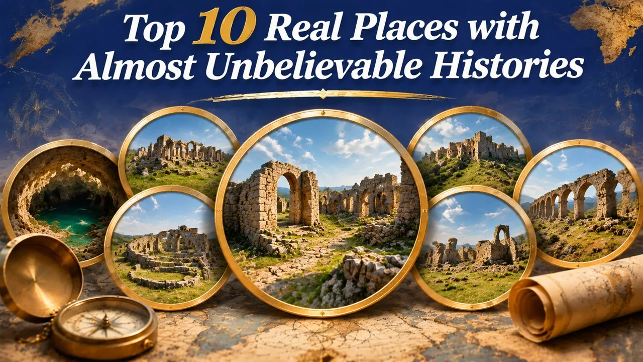
Stair towns, reed islands, a double-helix well and a planned desert city are real places, with records almost as striking as their legends. None of the ten sites below is a fantasy setting. Each is a documented settlement, monument, or landscape, and most are on the UNESCO World Heritage List, which means there is a formal description, a map, and a conservation file to check [1][5][10]. This list is a curated set of places whose engineering or social history can sound invented until the citations are opened.
The entries are not ranked by wonder. They are arranged as a tour of different solutions — to a steep mine, to iron-working on a mountain, to water, to defense, to a lake, to a desert, and to burial — that later visitors have sometimes found hard to believe were ordinary life.
Key Facts
"Unbelievable" here means surprising to a modern visitor, not untrue. Official heritage descriptions and standard historical overviews are the basis for every entry.
Ten Documented Places at a Glance
| Rank | Place | Country | The documented surprise |
|---|---|---|---|
| 1 | Sewell | Chile | A copper-mining town organized as a hillside of stairs, not streets for cars |
| 2 | Sukur | Nigeria | A mountain cultural landscape built around iron working and stone terraces |
| 3 | Banská Štiavnica | Slovakia | A mining region that stored and used water as an industrial power system |
| 4 | Pozzo di San Patrizio, Orvieto | Italy | A deep well with a double helix of stairs so that traffic could go down and up apart |
| 5 | The Sassi of Matera | Italy | A city of cave dwellings, later condemned, later restored |
| 6 | Fatehpur Sikri | India | A complete Mughal capital built, used briefly, and left standing |
| 7 | Uros islands | Peru (Lake Titicaca) | Inhabited islands made of totora reed |
| 8 | Ghadamès | Libya | A desert town of covered streets and roof-level routes |
| 9 | Tierradentro | Colombia | Underground painted tombs cut into the mountains |
| 10 | Dholavira | India | A Harappan city whose plan is organized around water in an arid landscape |
1. Sewell, Chile
Sewell, on the steep slope below the El Teniente copper mine in the Andes, was a company town built for a mine that became one of the world's largest underground copper operations [1]. Because of the gradient, the historic settlement is organized in stairways and pedestrian paths rather than in a conventional street grid for vehicles. Housing, services, and industrial buildings were stacked on the mountainside, and the town is now a UNESCO World Heritage site, conserved as a record of early-twentieth-century industrial life in a difficult landscape [1].
The "town of stairs" is not a metaphor. Visitors and heritage reports describe a dense, vertical settlement whose daily movement was up and down. Sewell was later largely emptied as a living town, which is why the staircases and painted houses can be read so clearly as a planned industrial artifact.
2. Sukur, Nigeria
Sukur, in the Mandara Mountains of Adamawa State, is inscribed by UNESCO as a cultural landscape: terraced fields, paved ways, stone architecture, and the remains of a once-central iron-smelting tradition, organized around the palace of the Hidi [2]. Iron working in this region is documented as a skilled, long-lived craft, not as a legend of a "kingdom of metal." The terraces made farming possible on a slope; the stone work made a political and ritual centre visible on the mountain [2].
What can sound like a romance — a hill community whose wealth and identity were tied to iron — is, in the heritage record, a specific landscape with paths, furnaces, and a palace complex. The site's importance is agricultural and political as well as metallurgical. It is one of West Africa's clearest monumental statements that iron was a social system, not only a material.
Related: Top 10 Lost Cities That Were Rediscovered
3. Banská Štiavnica, Slovakia
Banská Štiavnica, a historic silver- and gold-mining town in the Slovak ore mountains, is famous not only for its mines but for an elaborate early-modern system of reservoirs, channels, and water-powered machinery [3]. The artificial lakes, often called tajchy, stored water that could be delivered to pumps, stamps, and other mine works, a landscape-scale solution designed by mining engineers when the shafts went below easy drainage [3]. The town later housed a mining academy and is a UNESCO World Heritage site.
The idea that a city "turned water into power" is, here, almost literal. Visitors can still see the water system in the hills as well as the baroque and earlier town at its centre. It is a reminder that industrial revolution stories that start only in Britain miss a Central European mining science that was already managing energy and water on a regional scale.
4. Orvieto's Double-Stair Well
The Pozzo di San Patrizio, or St. Patrick's Well, was built in Orvieto in the 1520s and 1530s, after Pope Clement VII took refuge in the hill town during the crisis that followed the Sack of Rome [4]. Antonio da Sangallo the Younger designed a deep well, about 53 meters, with a double helix of ramps so that pack animals could descend on one path and climb on the other without meeting [4]. Windows cut in the shaft bring daylight down the stairs.
The engineering is the documented wonder: a water insurance policy for a town on a tuff plateau, solved as two intertwined staircases. The dedication to St. Patrick comes from a later comparison with the Irish pilgrimage site of the saint's "purgatory," not from a medieval Irish well on the spot. The structure still stands and can be visited as a work of Renaissance civic defense.
5. The Sassi of Matera
Matera, in Basilicata, includes the Sassi: neighborhoods of dwellings, churches, and cisterns carved into the calcarenite ravine, with a human presence that goes back to prehistory and a dense cave-city that was still inhabited in the twentieth century [5]. In the 1950s the Italian state treated the Sassi as a national shame of poverty and disease and moved many residents to new housing. In later decades the same caves were restored, listed by UNESCO, and turned into a cultural and tourist centre, with some return of habitation and hospitality [5].
Related: Top 10 Countries with Most Natural World Heritage Sites
The history that sounds invented is the reversal. A place described as uninhabitable became a heritage prize. The stone is the same. What changed was policy, plumbing, and the story told about cave life. Matera is now often used as a film location and as a symbol of regeneration, which can hide the mid-century evacuation that made the empty caves available to be reimagined.
6. Fatehpur Sikri
Fatehpur Sikri, near Agra, was built by the Mughal emperor Akbar in the 1570s as a new capital, complete with palaces, a great mosque, courts, and formal gates, including the Buland Darwaza [6]. Within about fifteen years the court had largely shifted away, and the city was not maintained as the empire's centre. The usual textbook explanation is a failure of water supply; scholars have also pointed to political and military reasons for the move back toward Agra and Lahore [6]. The sandstone complex remains one of the most complete Mughal urban ensembles, and it is a UNESCO site.
An "abandoned capital" that still looks ready for a ceremony is the surprise. The buildings were not a mythic lost city. They were a court that moved, leaving a planned ceremonial town in a relatively dry landscape, where later visitors can walk a sixteenth-century plan almost without later infill.
7. The Uros Floating Islands
On Lake Titicaca, Uros communities have long built and repaired islands from totora reed, laying roots and cut reed into floating platforms that support houses, boats, and landing places [7]. The practice is documented in ethnography and in Peru's tourism and cultural record; some islands closer to Puno are now strongly shaped by visitor traffic, which has led to debates about authenticity and income, but the reed-island technique itself is real [7]. Islands must be renewed as the lower layers rot.
People who have only seen a photograph sometimes assume the islands are a temporary display. They are a living technology, with all the ordinary complications of a tourist economy added on top. The "land" is a crop and a craft. That is stranger, and more practical, than a miracle.
Related: Top 10 Oldest Surviving Buildings on Earth
8. Ghadamès, Libya
Ghadamès, an oasis town in the Libyan desert, is inscribed by UNESCO for a compact, whitewashed traditional fabric in which streets are covered, houses are packed against heat and sand, and circulation is split between shaded ground-level passages and roof-level routes [8]. Standard descriptions of the historic house note a division of functions by floor: storage and work below, family life above, and roofs that could serve as an upper public world, often associated in the literature with women's movement [8].
The "city of two worlds" is therefore a statement about climate and gender as well as about beauty. Conflict and political isolation have made tourism uneven in recent years, but the architectural record, and the heritage listing, are not in doubt. Ghadamès is a designed desert microclimate, not an accidental huddle of walls.
9. Tierradentro, Colombia
The National Archaeological Park of Tierradentro, in the Colombian Andes, protects a group of pre-Hispanic hypogea: tombs reached by spiral or straight stairs, opening into chambers whose walls and columns were painted with geometric and figurative designs [9]. UNESCO lists the park for these underground funerary spaces, which are among the most elaborate of their kind in the region, and for related surface monuments [9]. The tombs were cut into volcanic soil and soft rock, then decorated as architecture, not as mere pits.
A "city of the dead" under a mountain can sound like an invention. The park is a mapped, visitable archaeological site, with all the conservation problems of painted underground rooms. What is astonishing is the labor and the pictorial program, not a supernatural claim.
Related: Top 10 Magnificent Libraries of the World
10. Dholavira, India
Dholavira, on Khadir Bet in the Rann of Kutch, Gujarat, is a major city of the Indus Civilization, occupied in the third and second millennia BCE and inscribed by UNESCO in 2021 [10]. Excavations have revealed a carefully planned settlement with a citadel, a middle town, a lower town, and an elaborate system of dams, channels, reservoirs, and tanks designed to catch and store scarce water in an arid setting [10]. Signage in an Indus script and monumental gateways add to the site's fame, but the water works are the practical marvel.
The "city that planned for the impossible" is, in the archaeological record, a city that planned for drought and a seasonal salt desert. The reservoirs are still visible as architecture. Dholavira is a reminder that urban sophistication in the Bronze Age included hydrology, and that a dry landscape can preserve a plan that a wetter site might have lost.
Conclusion
These ten places are surprising only if one expects cities to sit on flat grids, islands to be geological, wells to be holes, and ancient towns to be sloppy. A Chilean mine needed stairs. A Nigerian mountain community organized iron and terraces together. A Slovak mining region stored lakes for power. A papal town cut a double staircase to water. Matera, Fatehpur Sikri, the Uros islands, Ghadamès, Tierradentro, and Dholavira each solved a local problem with a form that later visitors have found hard to take as ordinary.
The conservation files make the same point in drier language: these are historic monuments and living or once-living landscapes, with dates, maps, and threats. The right response is not disbelief. It is to read the plan.
- ^ [1] "Sewell Mining Town." UNESCO World Heritage Centre. UNESCO: Sewell
- ^ [2] "Sukur Cultural Landscape." UNESCO World Heritage Centre. UNESCO: Sukur
- ^ [3] "Historic Town of Banská Štiavnica and the Technical Monuments in its Vicinity." UNESCO World Heritage Centre. UNESCO: Banská Štiavnica
- ^ [4] "Pozzo di San Patrizio." Wikipedia. Wikipedia: Pozzo di San Patrizio
- ^ [5] "The Sassi and the Park of the Rupestrian Churches of Matera." UNESCO World Heritage Centre. UNESCO: Matera
- ^ [6] "Fatehpur Sikri." UNESCO World Heritage Centre. UNESCO: Fatehpur Sikri
- ^ [7] "Uru people" and Lake Titicaca reed islands. Wikipedia and ethnographic overviews. Wikipedia: Uru people
- ^ [8] "Old Town of Ghadamès." UNESCO World Heritage Centre. UNESCO: Ghadamès
- ^ [9] "National Archeological Park of Tierradentro." UNESCO World Heritage Centre. UNESCO: Tierradentro
- ^ [10] "Dholavira: a Harappan City." UNESCO World Heritage Centre. UNESCO: Dholavira

















Discussion
Log in with