






 By
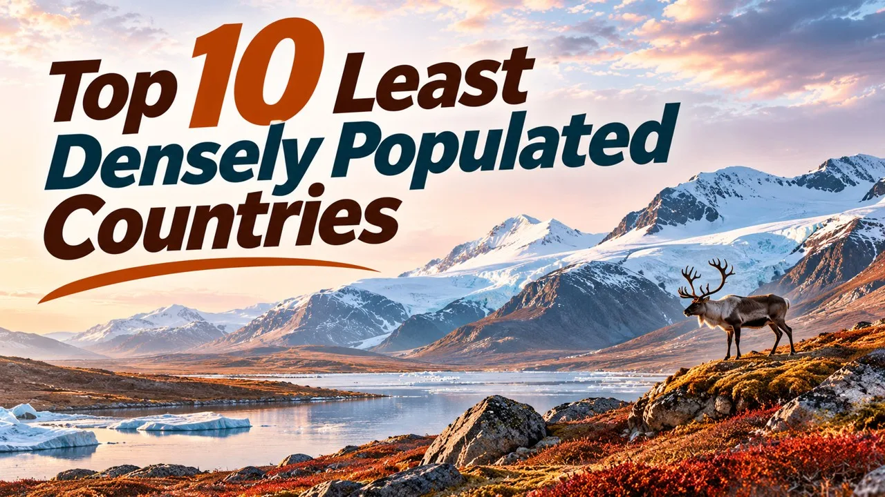
The ten least densely populated countries are ranked by people per square kilometre, from Mongolia, Australia and Namibia to Gabon, excluding Antarctica. The metric is the same one used for the densest countries: compiled population divided by land area, for UN member states, with dependent territories omitted [1]. Antarctica appears at the bottom of some tables with a tiny winter or summer population, but it is not a country, so it is excluded [1].
Low density can come from a huge area, a small population, or both. Australia and Canada are large, sparsely settled continental states. Iceland and Suriname are much smaller but still have very few people per square kilometre. The figures below should be read as compiled values, because both population estimates and official land areas are revised from time to time [1][2].
Key Facts
Ranks are by people per square kilometre for UN member states. Antarctica and dependencies are excluded. Ties are broken by the more precise density implied by the compiled population and area.
Least Densely Populated Countries at a Glance
| Rank | Country | Density (per km2) | Density (per sq mi) | Population (compiled) | Land area (km2) |
|---|---|---|---|---|---|
| 1 | Mongolia | 2.2 | 5.7 | 3,475,540 | 1,557,507 |
| 2 | Australia | 3.5 | 9.1 | 26,713,205 | 7,692,020 |
| 3 | Namibia | 3.7 | 9.6 | 3,030,131 | 823,290 |
| 4 | Iceland | 3.9 | 10 | 393,396 | 100,830 |
| 5 | Suriname | 4.0 | 10 | 634,431 | 160,508 |
| 6 | Libya | 4.2 | 11 | 7,381,023 | 1,759,540 |
| 7 | Guyana | 4.2 | 11 | 831,087 | 196,850 |
| 8 | Botswana | 4.4 | 11 | 2,521,139 | 566,730 |
| 9 | Canada | 4.5 | 12 | 39,742,430 | 8,788,700 |
| 10 | Mauritania | 5.0 | 13 | 5,169,396 | 1,030,700 |
1. Mongolia
Mongolia is first, at about 2.2 people per square kilometre, or 5.7 per square mile, with a compiled population of about 3.48 million on about 1.56 million square kilometres [1]. No UN member is sparser. The country is large, and most of its people live in and around Ulaanbaatar, which leaves the rest of the steppe and the Gobi very thinly settled.
First place is not close. Australia, in second, is still more than one person per square kilometre higher. Only a large rise in Mongolia’s population or a change in the official area would threaten the rank [1][2].
Mongolia is also the only country in the ten whose compiled density is well below three people per square kilometre. That gap is the main headline at the sparse end of the series [1].
2. Australia
Australia is second, at about 3.5 people per square kilometre, or 9.1 per square mile, with a compiled population of about 26.7 million on about 7.69 million square kilometres of land [1]. It is the least densely populated country with a population above 20 million.
The population is concentrated in a thin coastal belt. The interior is dry and lightly settled, which is why a large, wealthy country sits second on a sparseness list. Second place is just ahead of Namibia and well behind Mongolia [1].
Because the denominator is so large, even a million extra people would change the density only modestly. Australia’s rank is therefore more stable than Iceland’s or Guyana’s [1].
Related: Top 10 Most Densely Populated Countries
3. Namibia
Namibia is third, at about 3.7 people per square kilometre, or 9.6 per square mile, with a compiled population of about 3.03 million on about 823,290 square kilometres [1]. It is the least densely populated country in Africa on this table.
The Namib and the Kalahari take up much of the land area. Third place is close to Australia and to Iceland. A small revision could swap Namibia with either neighbour, but not with Mongolia [1].
Namibia’s compiled population, about 3.03 million, is similar in scale to Mongolia’s, but the land area is smaller, which is why it is third rather than first. The density is still below four people per square kilometre [1].
4. Iceland
Iceland is fourth, at about 3.9 people per square kilometre, or about 10 per square mile, with a compiled population of about 393,000 on about 100,830 square kilometres [1]. It is the least densely populated country in Europe.
Most people live in the southwest, around Reykjavík, which is also the world’s northernmost national capital of a sovereign state. The interior highlands are largely uninhabited. Fourth place is close to Namibia and Suriname [1].
Iceland is the only European country in the ten. Its land area, about 100,830 square kilometres, is modest beside Australia or Canada, so the low density comes from a small population as much as from empty land [1].
5. Suriname
Suriname is fifth, at about 4.0 people per square kilometre, with a compiled population of about 634,000 on about 160,508 square kilometres [1]. It is the least densely populated country in South America on this table, just ahead of Guyana.
Much of the interior is forested and sparsely settled, with the population concentrated along the coast. Fifth place sits in a tight group with Iceland, Libya and Guyana, all near four people per square kilometre [1].
Related: Top 10 Largest Countries in the World by Area
Suriname is the smallest country in the ten by land area after Iceland. That is why a population of only about 634,000 is still enough to keep the density a little above Iceland’s [1].
6. Libya
Libya is sixth, at about 4.2 people per square kilometre, with a compiled population of about 7.38 million on about 1.76 million square kilometres [1]. The implied density from those two figures is about 4.19, which is why Libya is placed ahead of Guyana, whose implied density is about 4.22, even though both are often rounded to 4.2 in summary columns [1].
The populated zone is mainly coastal. The Sahara accounts for most of the area. Sixth place is a rounding-sensitive rank and should be quoted with the population and area, not only with the rounded density [1].
Libya’s compiled population, about 7.38 million, is larger than that of several neighbours on this list. The area is large enough to keep the density down near Guyana’s [1].
7. Guyana
Guyana is seventh, at about 4.2 people per square kilometre on the rounded figure, and about 4.22 when population is divided by the compiled land area of about 196,850 square kilometres, with about 831,000 people [1]. It is just above Libya on that more precise reading and just below Suriname.
Like Suriname, Guyana has a coastal population belt and a lightly settled interior. Seventh place is close enough that a new estimate could swap it with Libya or Botswana [1].
Related: Top 10 Largest Islands in the World
The two Guiana Shield neighbours, Suriname and Guyana, sit fifth and seventh. They illustrate the same settlement pattern in the same region, with only a small density gap between them [1].
8. Botswana
Botswana is eighth, at about 4.4 people per square kilometre, with a compiled population of about 2.52 million on about 566,730 square kilometres [1]. The Kalahari covers much of the country.
Eighth place is a step above the four-point-two cluster and a step below Canada. It is another African state whose low density comes from a large dry interior rather than from a tiny population alone [1].
The compiled population of about 2.52 million on about 566,730 square kilometres produces the 4.4 figure. That is still less than five people per square kilometre, which is the band this ten occupies after Mongolia [1].
9. Canada
Canada is ninth, at about 4.5 people per square kilometre, or 12 per square mile, with a compiled population of about 39.7 million on about 8.79 million square kilometres of land [1]. It is the least densely populated country with a population near 40 million, and it has the largest land area in this ten.
Most Canadians live in a southern band near the United States border. The northern territories are extremely sparsely settled, which pulls the national density down to this rank. Ninth place is close to Botswana and Mauritania [1][2].
Canada’s presence in the ten is a reminder that low national density is not the same as a small economy or a small population. It is the ratio that is being ranked [1].
Related: Top 10 Curious Enclaves and Exclaves of the World
10. Mauritania
Mauritania is tenth, at about 5.0 people per square kilometre, or 13 per square mile, with a compiled population of about 5.17 million on about 1.03 million square kilometres [1]. Kazakhstan, at about 7.6, would be next if the list continued, followed by the Central African Republic and Russia.
Tenth place closes the group of countries at or below five people per square kilometre. Mauritania’s low density, like Libya’s, is largely a desert effect. On the compiled table used here, it holds the last place in the ten [1].
The compiled population of about 5.17 million on about 1.03 million square kilometres is what produces the five-point-zero figure. Kazakhstan’s higher density is why it stays just outside the list [1].
The ten should be read as a single official-style density series, not as a list of “empty” countries. Canada and Australia have large, highly urban populations; they are sparse only when the whole land area is used as the denominator. Mongolia, Namibia, Iceland and the two Guiana Shield states are sparsely settled in a more literal, countryside sense. Libya, Botswana and Mauritania owe much of their low density to desert. Mixing those stories into one number is exactly what a national density figure does, and it is also why the table gives population and area beside the rank [1][2].
Close ranks are a feature of this end of the list, not a defect in the method. Several countries sit between four and five people per square kilometre. Rounding each density to one decimal place is enough to make Libya and Guyana look tied, which is why this article also gives the implied density from population divided by area. Anyone updating the list after a new UN or national estimate should recompute those implied figures rather than copying only the rounded column [1].
Conclusion
The ten least densely populated UN member countries, on the compiled people-per-square-kilometre figures, are Mongolia, Australia, Namibia, Iceland, Suriname, Libya, Guyana, Botswana, Canada and Mauritania [1]. Mongolia is first by a clear margin. The next nine all lie between about 3.5 and 5.0 people per square kilometre, so several of the middle ranks are close and should be quoted with population and area as well as with the rounded density. Antarctica is not a country and is not ranked. A companion Finepedia list treats the other end of the same series, the most densely populated UN members [1][2]. Used together, the two lists show the range of official national density, from more than 19,000 people per square kilometre in Monaco down to 2.2 in Mongolia, with the important caveat that both figures depend on the same kind of compiled population and area inputs [1].
- ^ [1] "List of countries and dependencies by population density", compiled density, population and land area. Wikipedia. Wikipedia: countries by population density
- ^ [2] United Nations and national statistical series underlying standard density tables, summarized in the same compilation. Wikipedia compilation and sources



















Discussion
Log in with