






 By
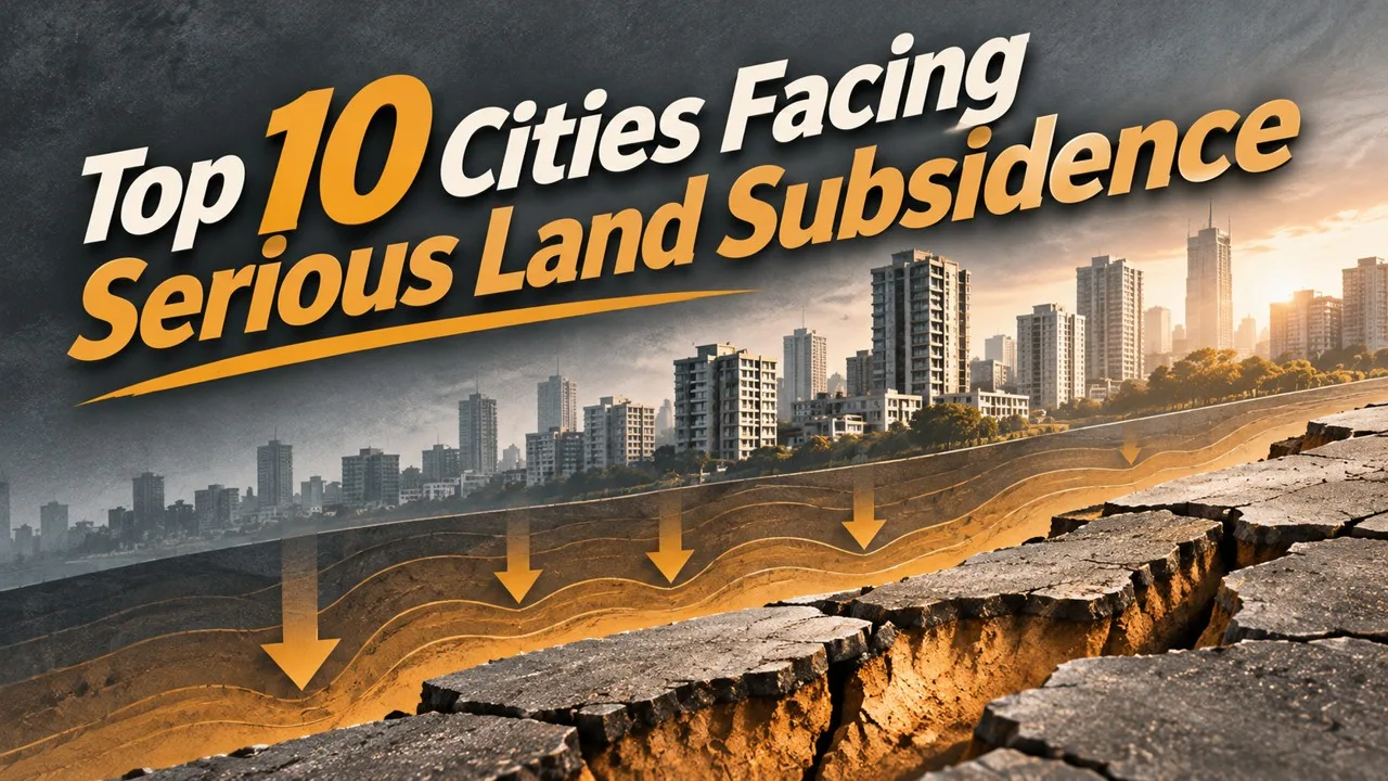
Mexico City and Jakarta are sinking, mostly from groundwater or weak ground; rates vary by neighborhood, and a Swedish town is moving because of a mine. Land subsidence is not a single catastrophe with a single speed [1][7][10]. In some cities, wells have compacted clay and former lake beds for decades; in others, the motion is only a few millimeters a year, serious because it adds to sea-level rise or because it tilts pipes and flood walls [3][6][8]. The ten places below are documented cases, with rates treated as local and changeable, not as a uniform sinking of an entire map [2][5][9]. This article will not say that the earth is swallowing cities, will not use flags or seals, and will not restage a hurricane as a gore scene [2][7]. A Swedish mining town appears because its center is being moved, on purpose, as the ground is undermined [10].
A rate is a measurement in a neighborhood, in a decade. The useful sentence always says which neighborhood, and which decade, when the sources allow it.
Key Facts
These are documented subsidence cases, with causes and rates qualified.
Ten Cities at a Glance
| Rank | Place | Careful version |
|---|---|---|
| 1 | Mexico City | Built on the former bed of Lake Texcoco; long-term groundwater pumping has caused serious, uneven subsidence |
| 2 | New Orleans | A combination of compaction, drainage, extraction and relative sea-level rise, made cruelly visible in 2005, without a single agreed share for each cause |
| 3 | Chicago | Relatively slow motion on glacial deposits and fill; a modest century-scale drop can still matter for sewers and lake-related infrastructure |
| 4 | Venice | Historical subsidence, now much reduced, plus sea-level rise and flooding; the lagoon city is not simply "drowning into soil" |
| 5 | Tehran | Rapid subsidence has been measured in some districts, tied largely to groundwater use; headline annual figures should be read as local maxima or period rates, not a citywide constant |
| 6 | New York City | Satellite surveys have reported average motion of a couple of millimeters a year, with faster patches on fill and under heavy loads; the risk is combined with sea-level rise |
| 7 | Jakarta | Among the most serious urban cases, especially in the north, from groundwater use on soft ground; meters of drop in some areas over recent decades are reported, not a single official citywide total |
| 8 | Beijing | North China Plain groundwater use has caused measurable subsidence in and around the capital; rates vary by district and by period |
| 9 | Delhi | Delhi is one of several large Indian cities with documented subsidence linked to groundwater; this entry will not flatten five cities into one panic figure |
| 10 | Kiruna | An Arctic mining town whose center is being relocated because iron-ore extraction is undermining the ground, a planned move, not a sudden collapse |
1. A Capital on a Former Lake
Mexico City stands, in large part, on the drained and filled bed of Lake Texcoco, a soft, watery foundation that has been compacted as wells have drawn drinking and industrial water for a rapidly grown capital [1]. Subsidence has been measured for a century, at rates that differ sharply from one borough to another, and that have, in some periods and places, reached tens of centimeters a year [1]. The unexpected fact is the unevenness. A street can tilt because the next block is on a slightly different clay. This article will not invent a single official speed for the whole valley. The careful fact is the lake-bed setting, and the groundwater, and the long, documented sinking.
A city can be heavy and still be standing on a sponge. The sponge, once emptied, does not rebound on a human schedule.
2. A Delta City, with Several Causes
New Orleans sits on delta sediments, below some surrounding water, in a region of relative sea-level rise, and it is also a city whose soils have compacted after drainage, flood-control works, and, in some accounts, extraction of fluids [2]. The disaster of 2005 made the vulnerability public; it is not, by itself, a measurement of ordinary annual sinking, and this article will not restage it [2]. Scientists have argued over how to divide the motion among those causes, which is a genuine uncertainty, not a confession of ignorance about the fact of subsidence. The careful fact is a low city with several documented contributors, including the loss of sediment and the sinking of drained land.
A levee can hide a rate until a storm arrives. The rate was already there; the storm is not the whole of the geology.
3. A Slow Drop, Still a Planning Fact
Chicago's measured subsidence, on glacial clays, fill and related deposits, is slow by the standards of this list: on the order of centimeters over a century in many popular summaries, not meters [3]. That modest motion can still affect the grade of sewers, the meeting of streets and the lake, and the long design life of hard infrastructure [3]. The unexpected fact is the seriousness of a small number. This article will not inflate Chicago into Jakarta. The careful fact is a slow, documented drop, and the infrastructure reason for caring about it.
Related: Top 10 Most Destructive Typhoons in Recorded History
A city can sink almost too slowly to see and still have to budget for the tilt. The budget is the civic fact; the panic is optional, and unearned.
4. A Lagoon, a History of Sinking, and a Rising Sea
Venice is often described as if it were simply disappearing into mud. The better account is mixed. The city and its lagoon have a history of subsidence, including a period when industrial groundwater use made the motion worse, a contribution that was later much reduced; at the same time, sea level has risen, and flooding, including acqua alta, remains a central municipal problem [4]. The unexpected fact is the split. A city can have slowed its sinking and still face higher water [4]. This article will not date an abandonment in a single round number of centuries, and it will not use a heritage logo. The careful fact is relative sea level, with both land motion and the sea in the sentence.
A canal is not, by itself, proof of a sinking city. The proof is a tide gauge, a benchmark, and a long civic argument about both.
5. A Capital Overdrawn at the Well
Tehran, on the southern slopes of the Alborz and on basins that have been heavily pumped, has districts in which satellite and ground surveys have reported rapid subsidence, among the faster urban rates in the literature [5]. Popular conversions into a single number of inches per year should be read as a local or period figure, not as a uniform lowering of every neighborhood [5]. The unexpected fact is the speed in the worst patches, which can crack pipes and tilt slabs in a few years. This article will not invent a citywide constant, and it will not use a national emblem. The careful fact is groundwater, and a documented, spatially uneven drop.
A well can lower a street. The street-level fact is the compaction of the aquifer's fine sediments, once the water is gone.
Related: Exploring the Great Barrier Reef: Ecosystem and Biodiversity
6. Millimeters, Plus the Tide
Satellite radar surveys reported in the early 2020s found that large parts of New York City are moving downward by, on average, only a couple of millimeters a year, with faster patches on landfill, in filled wetlands, and under some heavy built loads [6]. Taken alone, that is a small number. Combined with sea-level rise and with a dense waterfront, it is a planning number [6]. The unexpected fact is the map of the patches, not a hidden collapse. This article will not treat a first citywide satellite round as the last word, and it will not pretend the motion is dramatic in the Jakarta sense. The careful fact is a millimeter-scale average, an uneven interior, and a coastline that is already low.
A skyscraper's weight can be a local geological event. The event is measured in millimeters, and the millimeters still belong in a flood plan.
7. A Northern Shore, Seriously Lowered
Jakarta, especially its northern coastal districts, is among the most serious cases of urban subsidence on Earth, on soft, formerly marshy ground, with heavy use of groundwater [7]. Reports of several meters of drop in particular areas over recent decades circulate widely; they should be tied to those areas and periods, not expanded into a single official figure for the entire city [7]. The problem is grave enough, on the careful numbers, to have been part of the argument for moving administrative functions to a new capital inland. This article will not flatten a metropolis into one sinking block, and it will not use a flag. The careful fact is a fast, uneven, groundwater-driven lowering, worst where the land is already low and the sea is near.
A well in a marsh can cost a city its shore. The shore, in some neighborhoods, has already moved, relative to the houses, in living memory.
Related: Top 10 Giant Sinkholes and Blue Holes
8. A Dry Plain, and a Measurable Drop
Beijing sits at the edge of the North China Plain, a region of intense groundwater use, and satellite and leveling surveys have documented subsidence in and around the capital as aquifers have been drawn down [8]. Rates vary by district and have changed as water policy, including transfers from the south, and as pumping patterns have changed [8]. The unexpected fact is the connection between a dry climate, a deep well, and a benchmark that will not stay put. This article will not invent a single citywide speed, and it will not treat every suburb as a comparable case. The careful fact is a documented, uneven compaction tied to groundwater.
A capital can be water-stressed and still look, from a hotel window, perfectly level. The level, on a long survey line, is the part that has moved.
9. One City, not Five Collapsed into a Headline
Delhi, like several other large Indian cities, has been shown in satellite studies to be subsiding in places, with groundwater extraction the usual leading suspect, and with rates that differ from one sector to another [9]. Popular lists sometimes bundle Delhi with Mumbai, Bengaluru, Kolkata and Chennai under a single combined population and a single tone of alarm [9]. Those other cities have their own documented problems, and they deserve their own sentences, not a shared panic number. This article will keep Delhi as the entry, mention the others only as a regional context, and refuse to treat five municipal governments as one sinking object. The careful fact is a measured, uneven drop in a growing capital that draws heavily on wells.
A megacity can share a cause with its peers and still need its own map. The map, not the bundled headline, is the scientific object.
Related: Top 10 Most Impressive Highway Interchanges in the World
10. A Town That Is Walking Away from a Mine
Kiruna, in northern Sweden, is a mining town beside a huge iron-ore body, and the extraction is undermining the ground under the existing center [10]. The unusual civic response has been to move buildings, streets and functions, over years, to a new site, a planned retreat from a hole that is still being worked [10]. The unexpected fact is the administrative calm of a process that looks, in photographs, like a city being towed. This article will not treat the move as a sudden collapse, and it will not use a company mark or a flag. The careful fact is mining subsidence, and a relocation that is already under way.
A town can decide to leave its own footprint. The footprint, in this case, is being eaten by a legally worked mine, which is why the decision looks, from outside, almost polite.
Conclusion
The ten places above are a former lake bed, a delta city with several causes, a slow midwestern drop, a lagoon with both land and sea in the account, a fast-pumped Iranian capital, a millimeter-scale New York, a seriously lowered Jakarta shore, a Beijing on a pumped plain, a Delhi that should not be bundled with four other cities into one figure, and a Swedish town walking away from a mine. Rates vary. Causes cluster around water, soft sediment and, in one case, ore.
A sinking city is a measured motion. The decent way to list it is to keep the well, the clay and the benchmark in view, to refuse a single apocalyptic speed, and to leave flags, and disaster scenes, off the page.
- ^ [1] Geological and hydrological accounts of Mexico City's subsidence on the former bed of Lake Texcoco, including uneven rates tied to groundwater pumping. Britannica: Mexico City Britannica: subsidence
- ^ [2] Studies of New Orleans and the Mississippi delta, including compaction, drainage, extraction and relative sea-level rise, without a graphic storm scene. Britannica: New Orleans Britannica: delta
- ^ [3] Accounts of relatively slow subsidence in Chicago on glacial deposits and fill, and of its implications for infrastructure. Britannica: Chicago
- ^ [4] Histories of Venice's land subsidence, later reductions in pumping, and the separate problem of sea-level rise and flooding. Britannica: Venice Britannica: sea level
- ^ [5] Satellite and ground surveys of subsidence in and around Tehran, with rapid local rates tied to groundwater and treated as spatially uneven. Britannica: Tehran
- ^ [6] Early-2020s satellite surveys of vertical motion in New York City, including millimeter-scale averages and faster patches on fill. Britannica: New York City
- ^ [7] Accounts of serious subsidence in northern Jakarta from groundwater use on soft coastal ground, with multi-meter figures tied to particular areas and periods. Britannica: Jakarta
- ^ [8] Surveys of subsidence in Beijing and the North China Plain associated with groundwater extraction, with rates varying by district and period. Britannica: Beijing Britannica: North China Plain
- ^ [9] Satellite studies of subsidence in Delhi and, as context only, in other large Indian cities, without combining them into a single alarm figure. Britannica: Delhi
- ^ [10] Accounts of Kiruna's planned relocation in response to iron-ore mining subsidence in northern Sweden. Britannica: Kiruna Britannica: subsidence






















Discussion
Log in with