



 By
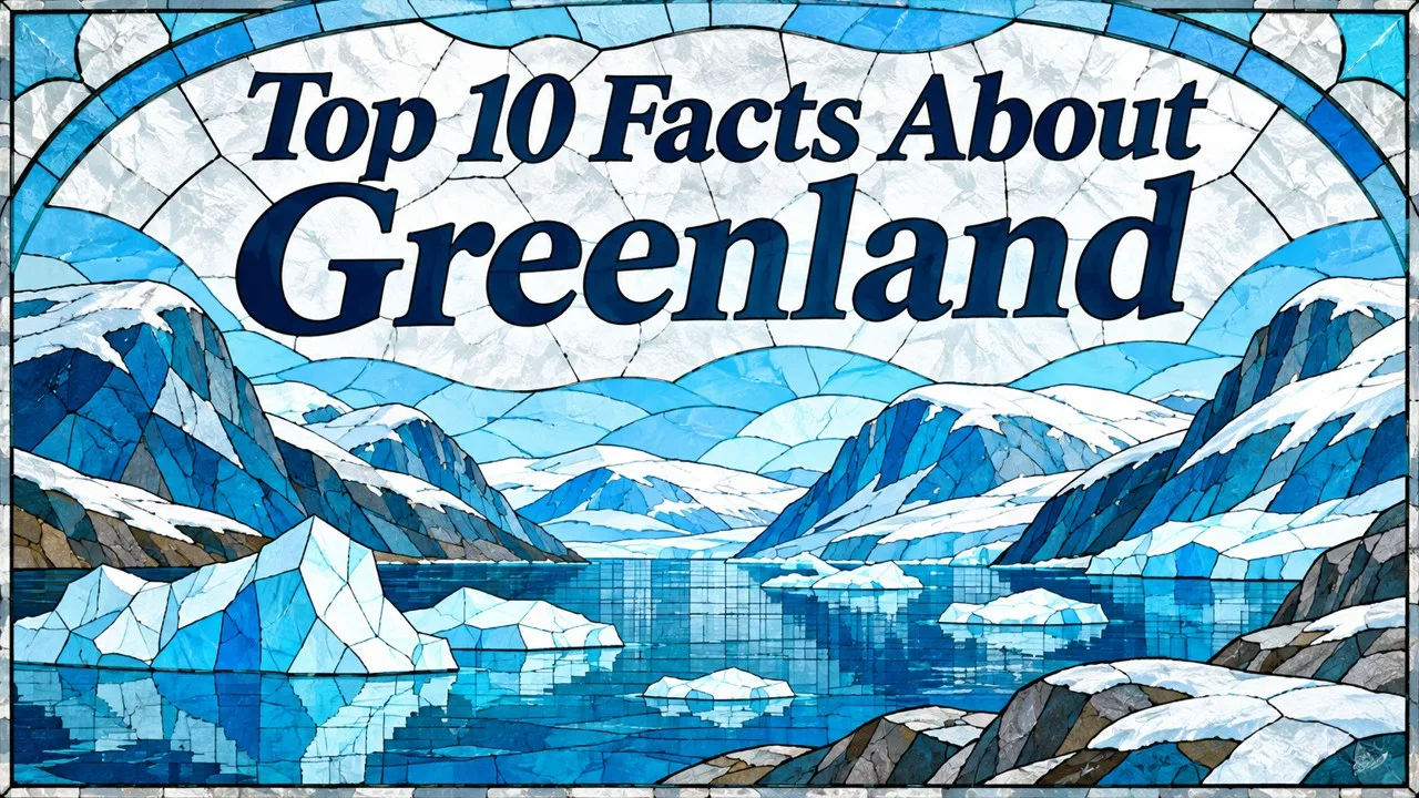
Greenland is the largest island, mostly under ice that holds ancient climate records, with no roads between towns and sharks that live for centuries. Greenland is one of the most striking places on Earth. It is enormous, mostly covered in ice and home to only a small population scattered along its coasts. For many people, it is a white shape at the top of the map, known more from headlines than from direct experience.
Yet Greenland has a long and fascinating history. Inuit peoples have lived there for centuries, Norse settlers built farms and churches there a thousand years ago, and scientists have drilled deep into its ice to read the history of Earth's climate. Its rocks are among the oldest on the planet.
The ten facts below cover Greenland's size, how maps distort it, its ice sheet, its ice cores, its ancient rocks, the origin of its name, the vanished Norse colonies, its Inuit people and self-government, its lack of roads between towns, and the extraordinary sharks that live in its waters.
The details are drawn from geographic, scientific and historical sources. Figures such as population and ice loss change over time, so the numbers given here are approximate.
Greenland matters far beyond its borders. Its ice sheet affects global sea levels, its location gives it strategic importance in the Arctic, and its people are working to shape their own future as a self-governing territory. Understanding Greenland helps explain some of the biggest questions facing the world today.
Greenland's landscape is also extraordinarily varied. Alongside the ice sheet are deep fjords, towering icebergs, mountain ranges, hot springs and areas of tundra where musk oxen, reindeer and Arctic foxes live. In summer, the sun never sets in the north, while in winter the polar night brings weeks without daylight and spectacular displays of the northern lights.
Key Facts
| # | Fact | Key detail | Why it matters |
|---|---|---|---|
| 1 | Size | About 2.16 million square kilometers | Larger than any island that is not a continent |
| 2 | Map distortion | Appears as large as Africa on some maps | Africa is about fourteen times larger |
| 3 | Greenland ice sheet | Covers about 80 percent of the island | Holds enough water to raise sea levels by about 7 meters |
| 4 | Ice cores | Ice more than 100,000 years old | Reveals past climate changes |
| 5 | Isua Greenstone Belt | Rocks about 3.7 to 3.8 billion years old | Clues to the early Earth |
| 6 | Erik the Red | Named Greenland around 985 | One of history's earliest marketing campaigns |
| 7 | Norse settlements | Lasted about 400 years | Disappeared in the fifteenth century |
| 8 | Self-government | Self-government since 2009 | Greenlandic is the official language |
| 9 | Transport | Travel by air, sea or sled | Towns are connected only by planes and boats |
| 10 | Greenland shark | May live for at least 270 years | The longest-lived vertebrate known |
1. The World's Largest Island
Greenland covers about 2.16 million square kilometers, making it the largest island in the world. Australia is larger, but it is usually classified as a continent rather than an island. Greenland is more than three times the size of France and larger than Mexico [1].
Most of the island lies north of the Arctic Circle. Its northernmost point, Cape Morris Jesup, is one of the closest points of land to the North Pole. The island stretches about 2,600 kilometers from north to south [1].
Despite its vast area, Greenland has one of the lowest population densities in the world. Its people live almost entirely along the ice-free coastal strips, mainly in the southwest, where the climate is mildest.
2. Smaller Than It Looks
On the Mercator projection, a map style widely used in classrooms and online maps, Greenland looks roughly as large as Africa. In reality, Africa covers about 30 million square kilometers, around fourteen times the area of Greenland [2].
Related: Top 10 Facts About Elevators
The distortion happens because the Mercator projection, devised in 1569 for navigation, keeps angles accurate but stretches areas more and more toward the poles. Places near the Arctic and Antarctic appear far larger than they really are [2].
Greenland has become a classic example used to teach how maps can distort the world. Many modern maps and globes show a more accurate picture, but the Mercator image of a giant Greenland remains familiar to many people.
3. A Vast Sheet of Ice
About four-fifths of Greenland is covered by an ice sheet, the second largest body of ice on Earth after the Antarctic ice sheet. In places, the ice is more than three kilometers thick, so heavy that it has pushed the land beneath it down below sea level [3].
If the entire Greenland ice sheet melted, global sea levels would rise by about seven meters. That would take a very long time, but scientists have measured significant ice loss in recent decades as the Arctic warms [3].
Melting ice from Greenland already contributes to rising sea levels around the world. Scientists monitor the ice sheet closely with satellites, weather stations and field expeditions, because its future is one of the key questions in climate science.
4. A Frozen Archive
Snow that falls on the Greenland ice sheet is slowly buried and compressed into ice, trapping air bubbles and dust. Layer by layer, the ice records information about the climate at the time it fell [4].
Since the 1960s, scientists have drilled deep cores from the ice sheet. Projects such as the Greenland Ice Core Project in the early 1990s and the North Greenland Ice Core Project, which reached bedrock in 2003, recovered ice more than 100,000 years old [4].
These cores revealed that the climate during the last ice age changed abruptly many times, sometimes warming by several degrees within decades. The findings have shaped modern understanding of how quickly the climate can shift.
Related: Top 10 Largest Islands in the World
5. Some of Earth's Oldest Rocks
In southwestern Greenland lies the Isua Greenstone Belt, a region containing some of the oldest known rocks on Earth. They formed about 3.7 to 3.8 billion years ago, when the planet was less than a billion years old [5].
In 2016, researchers reported structures in Isua rocks that they interpreted as stromatolites, layered formations created by microbial life, which would make them some of the oldest evidence of life on Earth. Other scientists later argued that the structures were formed by geological processes rather than living things, and the question remains debated [5].
Either way, Isua's rocks help geologists understand how the early Earth's crust formed and what conditions were like on the young planet.
6. A Name Meant to Attract Settlers
According to Icelandic sagas, Greenland was named by Erik the Red, a Norse explorer who had been exiled from Iceland for killing several men. He spent his exile exploring the southwest coast of Greenland and found sheltered fjords with grassy land [6].
When he returned to Iceland, he led a group of settlers back to the new land around 985. The sagas say he called it Greenland because people would be more eager to go there if it had an attractive name [6].
The name has often been described as an early piece of marketing. In fairness, the southern fjords really are green in summer, though the island as a whole is dominated by ice.
7. The Vanished Norse Colonies
The Norse settlers established two main colonies, known as the Eastern Settlement and the Western Settlement, with farms, churches and even a bishop. They raised livestock, hunted seals and traded walrus ivory with Europe [7].
The colonies lasted for about four centuries. The Western Settlement was abandoned by the mid-fourteenth century, and the last written record from the Eastern Settlement describes a wedding at Hvalsey Church in 1408. After that, the Norse disappear from the records [7].
Related: Brazil: A Comprehensive Overview of the South American Giant
Historians debate why the colonies ended. Explanations include a cooling climate, falling demand for walrus ivory, isolation from Europe and difficulties adapting to Arctic conditions. The ruins of Hvalsey Church still stand today.
8. An Inuit Nation Governing Itself
The ancestors of most modern Greenlanders are the Thule people, Inuit who arrived from Canada around the thirteenth century. They brought skills such as kayak hunting and dog sledding that allowed them to thrive in the Arctic [8].
Denmark began colonizing Greenland in 1721, and the island remained a Danish colony until 1953. It gained home rule in 1979 and expanded self-government in 2009, when Greenlandic became the sole official language. Greenland remains part of the Kingdom of Denmark, but its own government controls most domestic affairs [8].
Greenland has about 56,000 inhabitants, most of them Inuit, known in Greenlandic as Kalaallit. The capital, Nuuk, is home to about a third of the population.
9. No Roads Between Towns
There are no roads connecting Greenland's towns. Each settlement has its own local roads, but between them lie ice, mountains and fjords. Travel between communities is by airplane, helicopter or boat, and in winter by dog sled or snowmobile [9].
This makes travel expensive and dependent on the weather. Many smaller settlements can be cut off for days by storms. Air Greenland operates a network of flights and helicopter services that connect communities across the island [9].
In late 2024, Nuuk opened a new airport with a longer runway capable of handling larger international jets. It was part of a broader effort to improve connections and support tourism and the economy.
Related: Top 10 Reasons Why the World Loves Coffee
10. Sharks That Live for Centuries
The Greenland shark lives in the cold, deep waters of the North Atlantic and Arctic. It grows very slowly, perhaps about one centimeter per year, and can reach more than five meters in length [10].
In 2016, scientists used radiocarbon dating of the lenses of the sharks' eyes to estimate their ages. The oldest shark studied was estimated to be at least 272 years old and possibly close to 400, making the species the longest-lived vertebrate known [10].
The sharks are believed to reach maturity only after about 150 years. Their meat is toxic when fresh, but in Iceland it is fermented and dried to make a traditional dish called hakarl.
Conclusion
These facts show that Greenland is far more than a blank space on the map. Its ice holds a record of Earth's climate, its rocks are some of the oldest on the planet, and its people have a long and distinctive history.
Greenland is also changing rapidly. Its ice sheet is shrinking, its economy is developing and its role in global affairs is growing. The decisions made about its future will affect not only Greenlanders but the whole world.
For anyone interested in the Arctic, climate science or history, Greenland is one of the most fascinating places to learn about, and one of the most important to understand.
Visitors who make the journey often describe the scale of the place as overwhelming, with icebergs the size of buildings drifting past small coastal towns painted in bright colors.
- ^ [1] Accounts of Greenland's geography. Wikipedia: Greenland Wikipedia: geography of Greenland
- ^ [2] Accounts of the Mercator projection. Wikipedia: Mercator projection Wikipedia: map projection
- ^ [3] Accounts of the Greenland ice sheet. Wikipedia: Greenland ice sheet Wikipedia: sea level rise
- ^ [4] Accounts of Greenland ice cores. Wikipedia: Greenland Ice Core Project Wikipedia: North Greenland Ice Core Project
- ^ [5] Accounts of the Isua Greenstone Belt. Wikipedia: Isua Greenstone Belt Wikipedia: stromatolite
- ^ [6] Accounts of Erik the Red. Wikipedia: Erik the Red Wikipedia: Saga of Erik the Red
- ^ [7] Accounts of the Norse settlements. Wikipedia: Norse colonization of North America Wikipedia: Hvalsey Church
- ^ [8] Accounts of Greenland's people and government. Wikipedia: Thule people Wikipedia: Greenlandic language
- ^ [9] Accounts of transport in Greenland. Wikipedia: Nuuk Wikipedia: Nuuk Airport
- ^ [10] Accounts of the Greenland shark. Wikipedia: Greenland shark Wikipedia: radiocarbon dating















Discussion
Log in with