






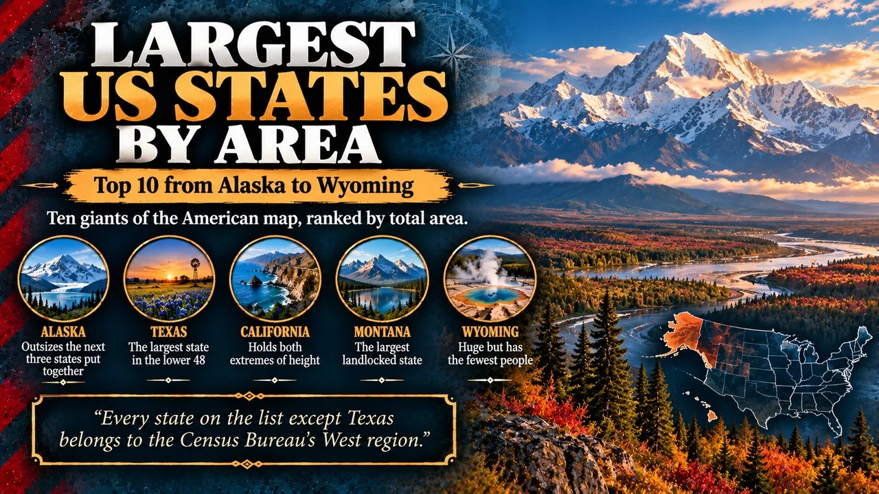
The largest US states by area are led by Alaska, well over double the area of Texas, followed by California, Montana and the high deserts of New Mexico.
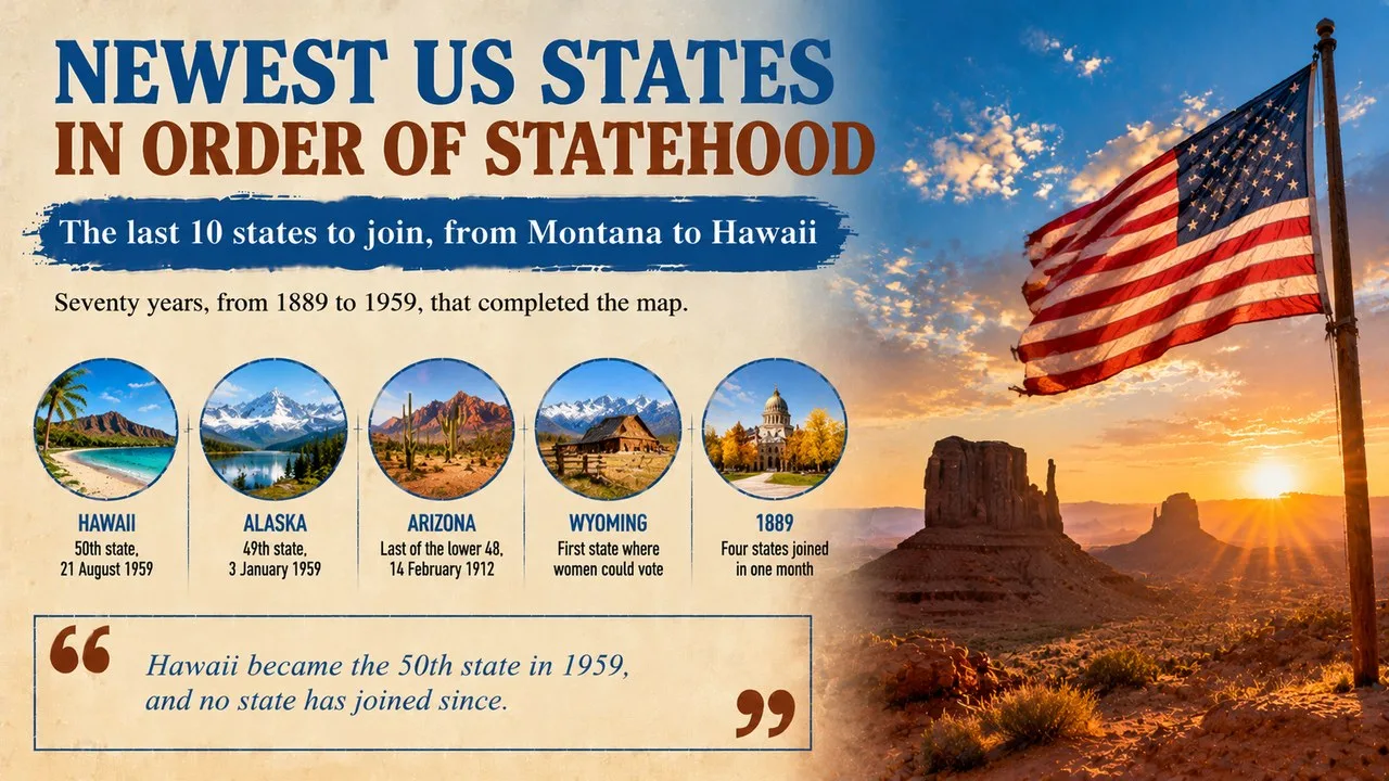
This Finepedia guide, written in October 2026, ranks the 10 biggest states of the United States by total area, counting both land and inland or coastal water. Each entry explains how big the state is, how it became part of the country and what makes its landscape stand out. For more about the 50 states, see the Finepedia guides Newest US States in Order of Statehood: Top 10 and US States With the Most National Parks: Top 10.
How We Chose These
We used total area figures from the US Census Bureau, which measures land and water together in square kilometres and square miles. Rankings by land area alone are almost the same, except that Wyoming moves ahead of Oregon, and we point this out where it matters. Statehood dates are covered only briefly here because our statehood guide tells that story in full. Every state on the list except Texas belongs to the Census Bureau's West region, and Alaska is the only one outside the contiguous United States. The order follows the Census figures as of October 2026.
The 10 Largest States at a Glance
| Rank | State | Area in km² | Area in sq mi |
|---|---|---|---|
| 1 | Alaska | 1,723,337 | 665,384 |
| 2 | Texas | 695,662 | 268,596 |
| 3 | California | 423,967 | 163,695 |
| 4 | Montana | 380,831 | 147,040 |
| 5 | New Mexico | 314,917 | 121,590 |
| 6 | Arizona | 295,234 | 113,990 |
| 7 | Nevada | 286,380 | 110,572 |
| 8 | Colorado | 269,601 | 104,094 |
| 9 | Oregon | 254,799 | 98,379 |
| 10 | Wyoming | 253,335 | 97,813 |
1. Alaska Outsizes the Next Three States Put Together
Alaska covers about 1.72 million km², roughly 18 percent of the whole country. Texas, California and Montana put together still fall short of it, and its water area alone is larger than the entire state of Utah.
Key Facts
- Total area: 1,723,337 km² (665,384 sq mi)
- Bought: from the Russian Empire in 1867 for 7.2 million US dollars
- Statehood: 3 January 1959, as the 49th state
- Highest point: Denali, 6,190 m, the tallest peak in North America
Did You Know?
When Secretary of State William Seward arranged the purchase, critics mocked the deal as Seward's Folly. Gold rushes, fisheries and later oil soon proved its value, and the price worked out at only about two cents an acre. Today its shoreline is longer than that of every other state added together.
2. Texas Is the Largest State in the Lower 48
Texas spans about 695,662 km², making it the biggest of the 48 contiguous states. Its landscapes range from pine forests in the east and Gulf Coast beaches to deserts and mountains in the far west.
Key Facts
- Total area: 695,662 km² (268,596 sq mi)
- Independent republic: 1836 to 1845
- Statehood: 29 December 1845, as the 28th state
- Counties: 254, more than any other state
Why It Matters
Texas is also the second most populous state, so its size shapes much of national life, from farming and oil to politics. The Rio Grande forms a long stretch of the border with Mexico, and Big Bend National Park sits inside one of its great curves. Brewster County, which contains most of the park, is by itself larger than the state of Connecticut.
3. California Holds Both Extremes of Height
California covers about 423,967 km² along the Pacific coast and has the largest population of all 50 states, at about 39 million. Its land rises from sunny beaches and fertile valleys to the high granite peaks of the Sierra Nevada.
Key Facts
- Total area: 423,967 km² (163,695 sq mi)
- Statehood: 9 September 1850, as the 31st state
- Highest point: Mount Whitney, 4,421 m
- Lowest point: Badwater Basin in Death Valley, 86 m below sea level
Did You Know?
Mount Whitney, the highest summit of the lower 48, and Badwater Basin, the lowest point in North America, lie only about 135 km apart. San Bernardino County, in the south of the state, is the largest county in the lower 48 and bigger than several small states.
4. Montana Is the Largest Landlocked State
Montana stretches across about 380,831 km² of the northern Rocky Mountains and the Great Plains, with no coastline at all. Its huge open skies earned it the nickname Big Sky Country.
Key Facts
- Total area: 380,831 km² (147,040 sq mi)
- Statehood: 8 November 1889, as the 41st state
- Name: from montaña, the Spanish word for mountain
- Population: only about 1.1 million people
Why It Matters
Montana's mountains feed rivers that flow towards three different oceans, because the state sits on the Continental Divide. Glacier National Park, in the north-west, protects shrinking glaciers and some of the wildest country in the lower 48. Grizzly bears, wolves and mountain goats still roam its valleys and ridges.
5. New Mexico Has the Least Water of Any State
New Mexico covers about 314,917 km², but only around 757 km² of that is water, the smallest share of any state. Deserts, high plateaus and mountains fill most of its land.
Key Facts
- Total area: 314,917 km² (121,590 sq mi)
- Statehood: 6 January 1912, as the 47th state
- Capital: Santa Fe, founded in about 1610
- Water: about 0.2 percent of the total area
Did You Know?
Santa Fe is the oldest of all US state capitals and, at roughly 2,134 m, it is also the highest. In the south of the state, White Sands National Park protects the world's largest field of gypsum dunes. Its bright white sand stays cool underfoot even in summer, because gypsum does not soak up much heat from the sun.
6. Arizona Was the Last of the Lower 48 to Become a State
Arizona covers about 295,234 km² in the south-west, where the Colorado Plateau meets the Sonoran Desert. It became a state on Valentine's Day in 1912, completing the map of the contiguous United States.
Key Facts
- Total area: 295,234 km² (113,990 sq mi)
- Statehood: 14 February 1912, as the 48th state
- Famous landmark: the Grand Canyon, carved by the Colorado River
- Clock rule: most of the state does not use daylight saving time
Why It Matters
Arizona's mix of desert, forest and canyon country attracts millions of visitors. The Navajo Nation, which reaches into the north-east of the state, does change its clocks in summer, so a drive across northern Arizona can involve several time changes. The Hopi Reservation, which lies inside the Navajo Nation, follows the rest of Arizona and keeps standard time all year.
7. Nevada Is Mostly Federal Land
Nevada spans about 286,380 km² of the Great Basin, a region where rivers never reach the sea. Long mountain ranges and dry valleys alternate across almost the whole state.
Key Facts
- Total area: 286,380 km² (110,572 sq mi)
- Statehood: 31 October 1864, during the Civil War
- Nickname: the Battle Born State
- Federal land: about 80 percent of the state
Did You Know?
No state gets less rain on average than Nevada, because the Sierra Nevada blocks most storms arriving from the Pacific. The state is also crowded with peaks, packing in more separate mountain ranges than anywhere else in the lower 48, with well over 300 of them running mostly from north to south. Geologists call this pattern basin and range country.
8. Colorado Sits Higher Than Any Other State
Colorado covers about 269,601 km², with the Great Plains in the east and the Rocky Mountains across the centre and west. It has the highest average elevation of any US state, at about 2,070 m.
Key Facts
- Total area: 269,601 km² (104,094 sq mi)
- Statehood: 1 August 1876, giving it the nickname Centennial State
- Highest point: Mount Elbert, 4,401 m
- Peaks above 14,000 feet: more than 50, known as fourteeners
Why It Matters
Snow on Colorado's high peaks feeds the Colorado, Rio Grande, Arkansas and Platte rivers, which supply water to many states and parts of Mexico. Its near-rectangular outline is one of the most recognisable shapes on the map of the country. Denver, the capital, is called the Mile High City, and one step of the state capitol sits exactly one mile above sea level.
9. Oregon Ranks Ninth With Its Coastal Waters
Oregon covers about 254,799 km² in the Pacific Northwest, including more than 6,000 km² of water. That water lifts it just above Wyoming in total area, although Wyoming has more dry land.
Key Facts
- Total area: 254,799 km² (98,379 sq mi)
- Statehood: 14 February 1859, as the 33rd state
- Deepest river gorge: Hells Canyon on the Snake River, shared with Idaho
- Historic route: final stretch of the Oregon Trail, used by settlers from the 1840s
Did You Know?
Oregon has the only US state flag with a different design on each side. The front shows the state seal, while the back shows a beaver, the state animal. Oregon is also known for Crater Lake, which fills the collapsed top of an ancient volcano and is deeper than any other lake in the country.
10. Wyoming Is Huge but Has the Fewest People
Wyoming spans about 253,335 km² of high plains and mountains, yet it has the smallest population of all 50 states. Its rectangular borders enclose most of Yellowstone, which in 1872 became the first national park anywhere on Earth.
Key Facts
- Total area: 253,335 km² (97,813 sq mi)
- Statehood: 10 July 1890, as the 44th state
- Population: under 600,000 people
- Nickname: the Equality State
Why It Matters
In 1869 the Wyoming Territory became the first place in the United States to give women the right to vote, which explains its nickname. It is also home to Devils Tower, which in 1906 became the first national monument in the country. Cattle ranching, coal and natural gas remain central to its economy.
Frequently Asked Questions
What is the largest state in the US by area?
Alaska is the largest state by a wide margin, at about 1.72 million km². Texas is second and is the biggest of the contiguous states.
What is the smallest state in the US?
Rhode Island is the smallest state, covering only about 4,000 km² in total. More than 400 Rhode Islands could fit inside Alaska.
Conclusion
From the glaciers and mountains of Alaska to the high plains of Wyoming, the largest US states show how varied the country's landscapes are. Size does not always mean many people, as Alaska, Montana and Wyoming prove. For more about the states, read the Finepedia guides Newest US States in Order of Statehood: Top 10 and US States With the Most National Parks: Top 10.
- United States Census Bureau, State Area Measurements and Internal Point Coordinates, census.gov (accessed October 2026).
- US National Park Service, park pages for Denali, Death Valley, White Sands, Glacier and Yellowstone (accessed October 2026).
- Wikipedia (accessed October 2026): List of U.S. states and territories by area, Alaska, Alaska Purchase, Texas, California, Montana, New Mexico, Arizona, Nevada, Colorado, Oregon and Wyoming.
- 10 Most Today, 10 Largest States in the United States by Area, 10mosttoday.com (topic reference).
























Discussion
Log in with