





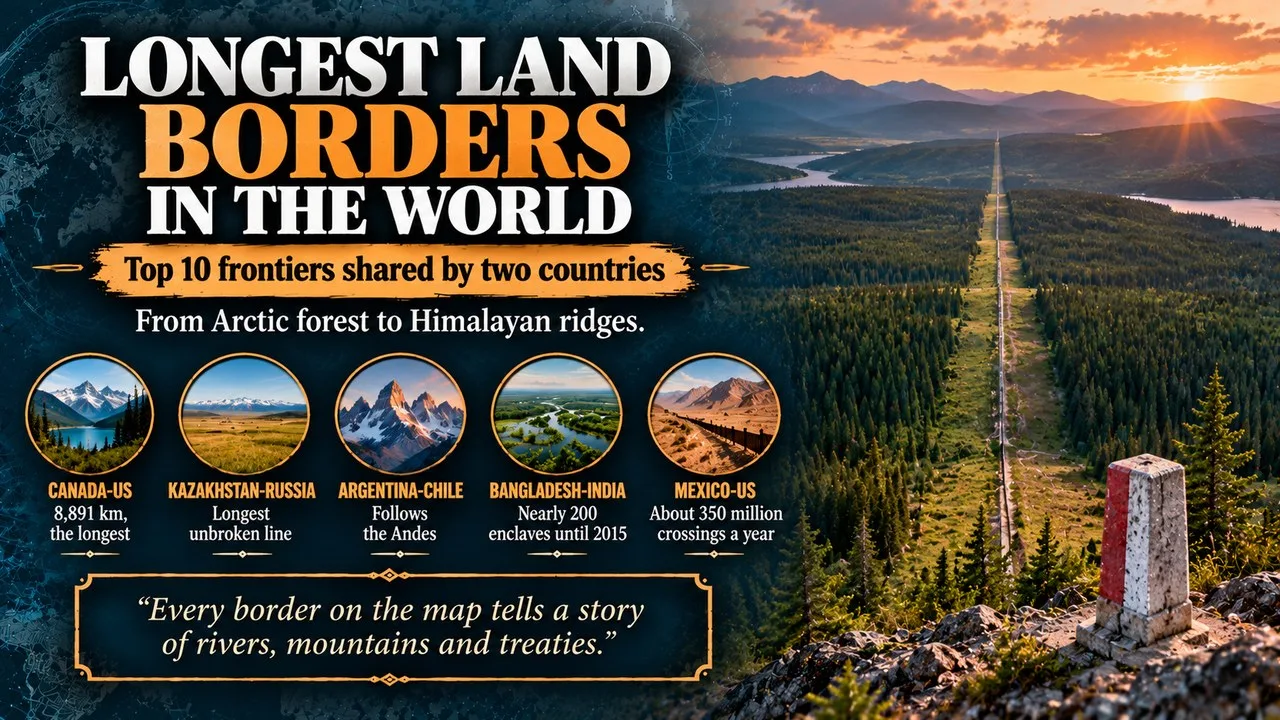
The longest land borders in the world are led by the Canada–United States line at 8,891 km, ahead of the borders of Kazakhstan–Russia and Argentina–Chile.
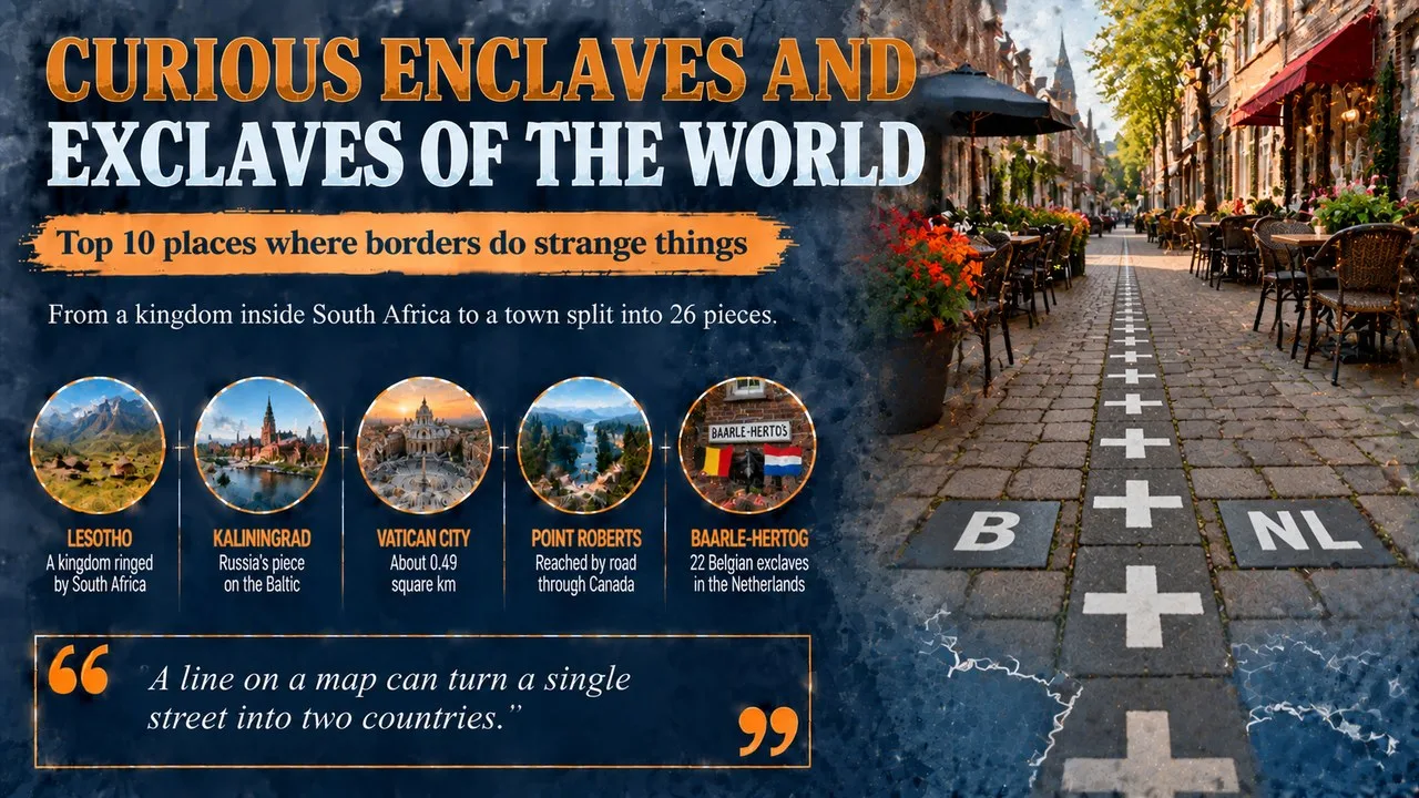
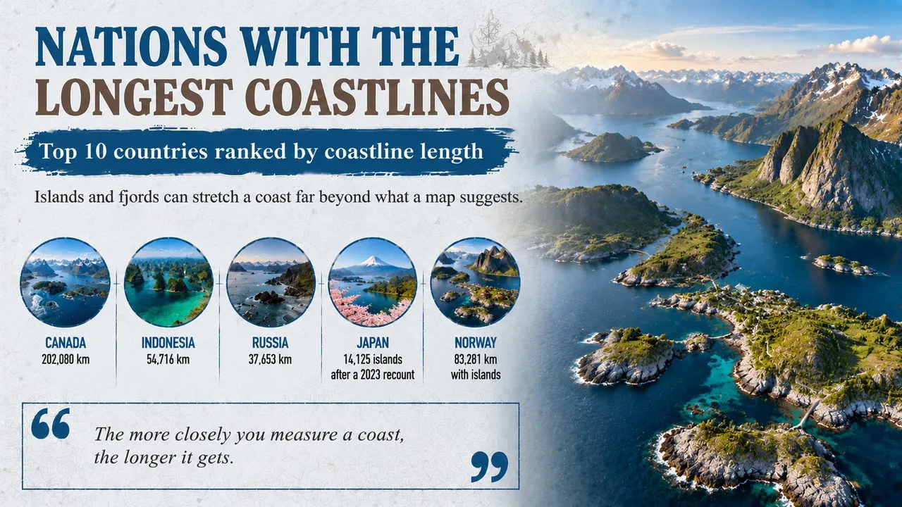
This Finepedia guide, written in October 2026, ranks the 10 longest borders shared by two countries, from Arctic forests to Himalayan ridges and desert plains. Every entry gives the length, the landscapes the line crosses and a moment from its history. For related reading on world geography, try the Finepedia guides Nations With the Longest Coastlines: Top 10 and Curious Enclaves and Exclaves of the World: Top 10.
How We Chose These
Our list measures each border as a whole, adding together every section shared by the same pair of countries, including lake and river stretches. Published lengths differ between survey agencies, atlases and the countries themselves, so we use the figures given in current reference works and round them where sources disagree. Disputed borders are flagged rather than settled here. The order follows those lengths as of October 2026.
The 10 Longest Land Borders at a Glance
| Rank | Border | Length | Main landscapes |
|---|---|---|---|
| 1 | Canada–US | 8,891 km | prairie, Great Lakes, Arctic forest |
| 2 | Kazakhstan–Russia | 7,644 km | steppe, Ural River, Altai Mountains |
| 3 | Argentina–Chile | 5,308 km | Andes, Patagonia, Tierra del Fuego |
| 4 | China–Mongolia | 4,630 km | Gobi Desert, Altai, grassland |
| 5 | China–Russia | 4,209 km | Amur and Ussuri rivers, Altai |
| 6 | Bangladesh–India | 4,096 km | river delta, hills, farmland |
| 7 | China–India | about 3,488 km (disputed) | Himalaya, Karakoram, Tibetan Plateau |
| 8 | Mongolia–Russia | 3,485 km | mountains, taiga, steppe |
| 9 | Bolivia–Brazil | 3,423 km | Pantanal wetlands, Amazon rainforest |
| 10 | Mexico–United States | 3,145 km | Rio Grande, Chihuahuan and Sonoran deserts |
1. Canada and the United States Share the Longest Border
Canada and the United States are divided by a line of about 8,891 km, split into two separate parts. The longer part, about 6,416 km, follows the northern edge of the lower 48 states, while about 2,475 km divides Alaska from Yukon and British Columbia.
Key Facts
- Length: 8,891 km, including water boundaries
- Famous line: much of the western section follows the 49th parallel
- Managed by: the International Boundary Commission, made permanent in 1925
- Nickname: widely described as the longest undefended frontier on the planet
Did You Know?
Along much of the land boundary, crews keep a strip about 6 metres wide clear of trees, known as the border vista. From the air it looks like a long, straight cut through the forest, and landowners need permission to build inside it.
2. Kazakhstan and Russia Share the Longest Unbroken Border
The Kazakhstan–Russia border stretches about 7,644 km from the Caspian shore to the meeting point with China in the Altai Mountains. Unlike the Canada–United States line, it runs in one continuous piece, which makes it the longest unbroken international border on Earth.
Key Facts
- Length: about 7,644 km
- Start: the northern shore of the Caspian Sea
- Rivers used: parts of the Ural, Maly Uzen and Uy
- Origin: an internal boundary between two Soviet republics
Why It Matters
When the Soviet era ended in 1991, a line drawn for administration inside one country suddenly became an international border. Much of it crosses flat, open steppe, and the two countries have since signed treaties to mark it on the ground.
3. Argentina and Chile Divide the Andes
The Argentina–Chile border is about 5,308 km long, making it South America's longest and third on the global list. It follows the high peaks of the Andes for most of its length, then cuts across the island of Tierra del Fuego along a straight north-south line.
Key Facts
- Length: about 5,308 km
- Northern end: a tripoint with Bolivia in the Puna de Atacama
- Southern end: the Beagle Channel, near Ushuaia
- Key treaty: the Boundary Treaty of 1881
Did You Know?
The two countries came close to war in 1978 over islands near the Beagle Channel. Mediation by Pope John Paul II produced a peace and friendship treaty, signed in 1984, though a short section on the Southern Patagonian Ice Field is still not fully marked.
4. China and Mongolia Meet in the Gobi
The China–Mongolia border runs about 4,630 km between two meeting points with Russia, one in the Altai Mountains in the west and one near the Greater Khingan range in the east. Most of the line crosses the dry, thinly populated Gobi Desert.
Key Facts
- Length: about 4,630 km
- Landscape: mostly desert and dry grassland
- Shape: long straight sections across the Gobi
- Neighbours: Mongolia has only two, China and Russia
Why It Matters
For landlocked Mongolia this border is a lifeline, carrying much of its trade, including coal and copper. The main railway between Ulaanbaatar and Beijing crosses it at the twin towns of Zamyn-Uud and Erenhot.
5. China and Russia Follow Great Rivers
The China–Russia border measures about 4,209 km after a final survey completed in the early 2000s. It has a long eastern section, much of it following the Amur and Ussuri rivers, and a very short western section of about 55 km high in the Altai Mountains.
Key Facts
- Length: about 4,209 km in two sections
- Main rivers: the Argun, Amur and Ussuri
- Crossings: more than 160 by 2013, counting road, rail and ferry points
- Old treaties: Nerchinsk in 1689 and Aigun in 1858
Did You Know?
In March 1969 Soviet and Chinese troops clashed over Zhenbao Island, also called Damansky, in the Ussuri River. The dispute took decades to settle, and the last stretches of the border were finally agreed in the 2000s.
6. Bangladesh and India Share a Winding Border
India almost surrounds Bangladesh on three sides, and the border between them winds for about 4,096 km through river deltas, farmland and forested hills. It touches five Indian states, with the longest stretch in West Bengal.
Key Facts
- Length: about 4,096 km
- Indian states: West Bengal, Assam, Meghalaya, Tripura and Mizoram
- Origin: the Radcliffe Line, published in August 1947
- Longest section: about 2,217 km in West Bengal
Why It Matters
Until 2015 the border was dotted with nearly 200 enclaves, small pockets of one country completely surrounded by the other. A land swap agreed by both governments came into force that year, letting residents choose their nationality and greatly simplifying the map.
7. China and India Meet on the Roof of the World
The border between China and India crosses some of the highest ground on Earth, from the Karakoram in the west to the eastern Himalaya. India puts its length at about 3,488 km, while Chinese figures are much shorter, because the two sides disagree about where the line actually runs.
Key Facts
- Length: about 3,488 km by India's count
- Working line: the Line of Actual Control, or LAC
- Sectors: western, middle and eastern
- Eastern sector: largely follows the McMahon Line of 1914
Did You Know?
Large parts of this frontier have never been formally agreed. The two countries fought a war in 1962, and in 2020 soldiers clashed in the Galwan Valley in Ladakh, which led to new talks on patrolling and border posts.
8. Mongolia and Russia Cross the Taiga
The Mongolia–Russia border runs about 3,485 km between two meeting points with China. It passes through the Altai Mountains, dips into Uvs Lake and crosses forests, steppe and mountains on its way east.
Key Facts
- Length: about 3,485 km
- Early basis: the Treaty of Kyakhta of 1727
- Lake crossed: Uvs Lake, Mongolia's largest
- Main crossing: Kyakhta and Altanbulag, on the road and rail route to Ulaanbaatar
Why It Matters
Much of today's line was first agreed between the Russian Empire and the Qing dynasty of China, which then ruled Mongolia. Today the Trans-Mongolian Railway crosses this border, linking Moscow to Ulaanbaatar and Beijing.
9. Bolivia and Brazil Cross the Pantanal
The Bolivia–Brazil border is about 3,423 km long, the longest frontier for both countries and the second longest in Latin America. It begins in the Pantanal wetlands near Corumbá and ends deep in the Amazon rainforest at Assis Brasil in Acre.
Key Facts
- Length: about 3,423 km
- Southern end: the Pantanal, one of the largest tropical wetlands
- Northern end: the Brazilian state of Acre
- Early treaty: 1867, drawn before the rivers were well mapped
Did You Know?
The rubber boom brought thousands of Brazilian settlers into Acre, which an 1867 treaty had placed in Bolivia. After unrest there, the Treaty of Petrópolis in 1903 gave the region to Brazil in exchange for land, money and a promised railway.
10. Mexico and the United States Share the Busiest Border
The border between Mexico and the United States runs about 3,145 km from the Pacific coast at Tijuana to the Gulf coast near Brownsville. No other frontier sees more traffic, with about 350 million legal crossings recorded each year.
Key Facts
- Length: about 3,145 km
- River section: about 2,020 km along the Rio Grande
- US states: Texas, New Mexico, Arizona and California
- Busiest crossing: San Ysidro, between San Diego and Tijuana
Why It Matters
Most of the line dates from the Treaty of Guadalupe Hidalgo, signed in 1848 after the Mexican–American War, and by the Gadsden Purchase five years later. Today it is a major trade route as well as a focus of debate about migration and border walls.
Frequently Asked Questions
Which country has the most land border in total?
China has the longest total land border, more than 22,000 km, shared with 14 countries. Russia also has 14 land neighbours, and its borders with Kazakhstan, China and Mongolia all appear in this top ten.
Why do border lengths differ between sources?
Lengths depend on how a line is measured, whether lake and river boundaries are included and how carefully twists are followed. New surveys and disputed sections, such as the China–India frontier, also change the totals.
Conclusion
From the cleared forest strip on the Canada–US line to the disputed heights of the Himalaya, the longest land borders show how history, rivers and mountains shape the map. Many are peaceful and busy with trade, while a few remain contested. For more about countries and coastlines, read the Finepedia guides Nations With the Longest Coastlines: Top 10 and Curious Enclaves and Exclaves of the World: Top 10.
- International Boundary Commission (Canada and United States), boundary facts and the border vista.
- CIA World Factbook, country entries for land boundaries (accessed October 2026).
- Wikipedia (accessed October 2026): Canada–United States border, Kazakhstan–Russia border, Argentina–Chile border, China–Mongolia border, China–Russia border, Bangladesh–India border, Line of Actual Control, Mongolia–Russia border, Bolivia–Brazil border and Mexico–United States border.
- 10 Most Today, 10 Longest Land Borders in the World, 10mosttoday.com (topic reference).
























Discussion
Log in with